Cartograms
Jump to navigation
Jump to search
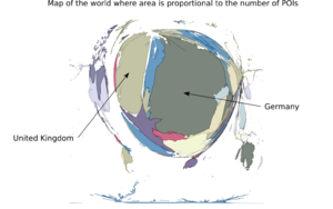
Cartograms are maps warped so that some variable corresponds to land area.
I thought it would be fun to do this with OSM data, so here is a cartogram of the number of points tagged with Key:amenity. More details here.
