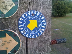
Drone Valley Way
Jump to navigation
Jump to search
The Drone Valley Way approximately follows the course of the River Drone towards Chesterfield.
It's being added as relation 1696989![]() 1696989.
1696989.
