File:110-kV-Einschleifung.jpg

From OpenStreetMap Wiki
Jump to navigation Jump to search

Original file(1,931 × 1,448 pixels, file size: 1.53 MB, MIME type: image/jpeg)

View on Wikimedia Commons
This file and its description are from Wikimedia Commons.

Summary

Description
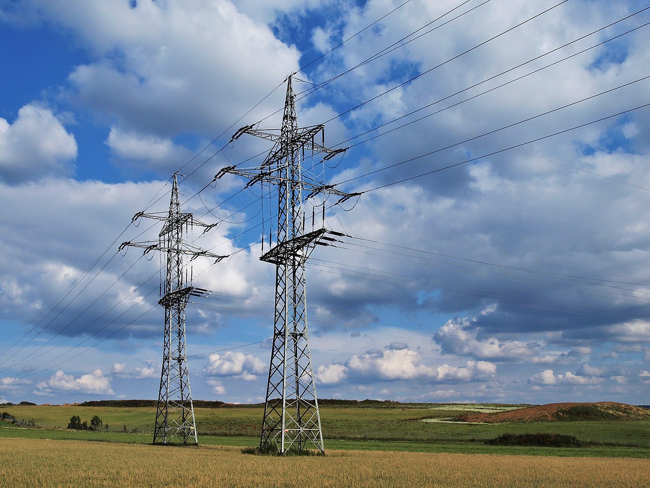
English: Tap point on a 110 kV power line in Schwäbisch Gmünd
Deutsch: Einschleifung an einer 110-kV-Freileitung in Schwäbisch Gmünd
Date
Source Own work
Author Kreuzschnabel
Permission
(Reusing this file)
Image by Kreuzschnabel/Wikimedia Commons, License: artlibre

Licensing: Choose any of the following licenses for reuse of this work. Usage is free of charge as long as all terms of the license chosen are complied with. If you would like alternative terms, please get in touch with me via Wikimail or leave a request on my my discussion page to negotiate.

  • Using online: A typical example of reusing my images is given at the right, showing the author’s name and a link to the license used.
  • Using in printed media: Either close to the image or in a separate image directory, as long as unambiguously assigned, the author and license used should be specified, like: Photo: Kreuzschnabel/Wikimedia Commons, Licence: Cc-by-sa-3.0 (https://creativecommons.org/licenses/by-sa/3.0/legalcode)

In any case, I should be glad to receive a Wikimail message or, for printed media, a sample copy.

→ More information about reuse outside Wikimedia projects.

This file is copyrighted and has been released under licenses which are incompatible with Facebook's licensing terms. Therefore, it is not permitted to upload this file to Facebook. This applies accordingly to a large number of other social networks or other interactive sites.

I, the copyright holder of this work, hereby publish it under the following license:
w:en:Creative Commons
attribution share alike
This file is licensed under the Creative Commons Attribution-Share Alike 3.0 Unported license.
You are free:
  • to share – to copy, distribute and transmit the work
  • to remix – to adapt the work
Under the following conditions:
  • attribution – You must give appropriate credit, provide a link to the license, and indicate if changes were made. You may do so in any reasonable manner, but not in any way that suggests the licensor endorses you or your use.
  • share alike – If you remix, transform, or build upon the material, you must distribute your contributions under the same or compatible license as the original.
GNU head Permission is granted to copy, distribute and/or modify this document under the terms of the GNU Free Documentation License, Version 1.2 or any later version published by the Free Software Foundation; with no Invariant Sections, no Front-Cover Texts, and no Back-Cover Texts. A copy of the license is included in the section entitled GNU Free Documentation License.
Licence Art Libre Copyleft: This work of art is free; you can redistribute it and/or modify it according to terms of the Free Art License. You will find a specimen of this license on the Copyleft Attitude site as well as on other sites.
Camera location48° 50′ 14.27″ N, 9° 50′ 43.64″ E Kartographer map based on OpenStreetMap.View this and other nearby images on: OpenStreetMapinfo

This image has been assessed using the Quality image guidelines and is considered a Quality image.

العربية  جازايرية  беларуская  беларуская (тарашкевіца)  български  বাংলা  català  čeština  Cymraeg  Deutsch  Schweizer Hochdeutsch  Zazaki  Ελληνικά  English  Esperanto  español  eesti  euskara  فارسی  suomi  français  galego  עברית  हिन्दी  hrvatski  magyar  հայերեն  Bahasa Indonesia  italiano  日本語  Jawa  ქართული  한국어  kurdî  Lëtzebuergesch  lietuvių  македонски  മലയാളം  मराठी  Bahasa Melayu  Nederlands  Norfuk / Pitkern  polski  português  português do Brasil  rumantsch  română  русский  sicilianu  slovenčina  slovenščina  shqip  српски / srpski  svenska  தமிழ்  తెలుగు  ไทย  Tagalog  Türkçe  toki pona  українська  vèneto  Tiếng Việt  中文  中文(简体)  中文(繁體)  +/−

Captions

Add a one-line explanation of what this file represents

Items portrayed in this file

depicts

15 July 2011

48°50'14.269"N, 9°50'43.642"E

0.001 second

18 millimetre

image/jpeg

f04e34245eecc5c32187a4673dac9b758f892e33

1,606,369 byte

1,448 pixel

1,931 pixel

File history

Click on a date/time to view the file as it appeared at that time.

Date/TimeThumbnailDimensionsUserComment
current16:26, 21 June 2016Thumbnail for version as of 16:26, 21 June 20161,931 × 1,448 (1.53 MB)wikimediacommons>Kreuzschnabelperspective distortion fixed, colours

Metadata