File:2016-07-14 obstwiese tuerkheim.png
Jump to navigation
Jump to search


Size of this preview: 800 × 510 pixels. Other resolutions: 320 × 204 pixels | 640 × 408 pixels | 1,024 × 652 pixels | 1,248 × 795 pixels.
Original file (1,248 × 795 pixels, file size: 101 KB, MIME type: image/png)
Summary
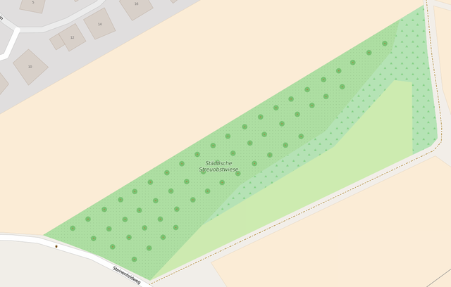
Obstwiese in Türkheim nach der Mapping-Party
Licensing
| Contains map data © OpenStreetMap contributors, made available under the terms of the Open Database License (ODbL).
The ODbL does not require any particular license for maps produced from ODbL data, produced maps may be subject also to other licences. |
File history
Click on a date/time to view the file as it appeared at that time.
| Date/Time | Thumbnail | Dimensions | User | Comment | |
|---|---|---|---|---|---|
| current | 09:41, 14 July 2016 | | 1,248 × 795 (101 KB) | Meillo (talk | contribs) | Obstwiese in Türkheim nach der Mapping-Party |
You cannot overwrite this file.
File usage
The following page uses this file: