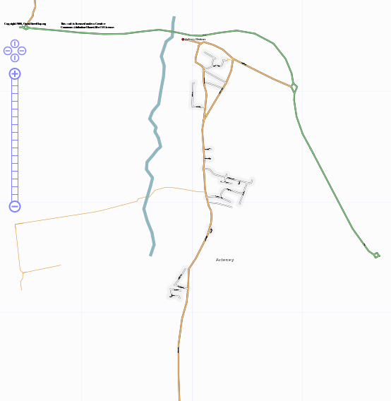
File:Arlesey.png
Jump to navigation
Jump to search

No higher resolution available.
Arlesey.png (554 × 568 pixels, file size: 45 KB, MIME type: image/png)
Progress on mapping Arlesey, Bedfordshire, UK
![]()
Contains map data © OpenStreetMap contributors, made available under the terms of the Creative Commons Attribution-ShareAlike 2.0 (CC-BY-SA-2.0).
File history
Click on a date/time to view the file as it appeared at that time.
| Date/Time | Thumbnail | Dimensions | User | Comment | |
|---|---|---|---|---|---|
| current | 19:18, 25 November 2006 | | 554 × 568 (45 KB) | Steevc (talk | contribs) | Version as of 25/11/06 |
| 20:14, 3 October 2006 | 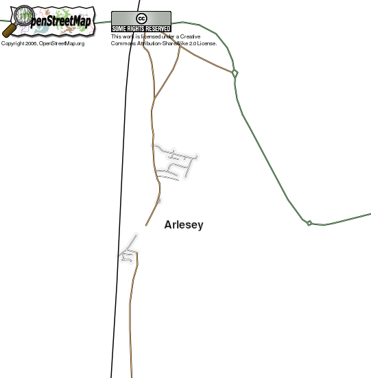 | 541 × 551 (42 KB) | Steevc (talk | contribs) | Progress on mapping Arlesey, Bedfordshire, UK |
You cannot overwrite this file.
File usage
The following 2 pages use this file: