File:B20 (Ausfahrt Fridolfing-Kaltenbrunn) - geo-en.hlipp.de - 11914.jpg
Jump to navigation
Jump to search


No higher resolution available.
B20_(Ausfahrt_Fridolfing-Kaltenbrunn)_-_geo-en.hlipp.de_-_11914.jpg (640 × 480 pixels, file size: 67 KB, MIME type: image/jpeg)
This file and its description are from Wikimedia Commons.
Summary
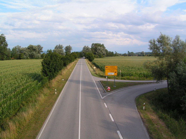
| Description | B20 (Ausfahrt Fridolfing-Kaltenbrunn) |
| Date | |
| Source | From this image at geo-en.hlipp.de; transferred by User:oxyman using geograph_org2commons. |
| Author | Manfred Zerndl |
| Permission (Reusing this file) |
Creative Commons Attribution Share-alike license 2.0 , 21 km from Traunstein, Deutschland (Zone 33). |
| Camera location | | View this and other nearby images on: OpenStreetMap |
|---|
_-_geo-en.hlipp.de_-_11914.jpg¶ms=048.015956_N_0012.816701_E_globe:Earth_type:camera_heading:135.00&language=en)
Licensing

|
This image was taken from the Geograph Deutschland project collection. See this photograph's page on the Geograph website for the photographer's contact details. The copyright on this image is owned by Manfred Zerndl and is licensed for reuse under the Creative Commons Attribution-ShareAlike 2.0 license. |
This file is licensed under the Creative Commons Attribution-Share Alike 2.0 Generic license.
Attribution: Manfred Zerndl
- You are free:
- to share – to copy, distribute and transmit the work
- to remix – to adapt the work
- Under the following conditions:
- attribution – You must give appropriate credit, provide a link to the license, and indicate if changes were made. You may do so in any reasonable manner, but not in any way that suggests the licensor endorses you or your use.
- share alike – If you remix, transform, or build upon the material, you must distribute your contributions under the same or compatible license as the original.
File history
Click on a date/time to view the file as it appeared at that time.
| Date/Time | Thumbnail | Dimensions | User | Comment | |
|---|---|---|---|---|---|
| current | 01:51, 2 August 2010 | | 640 × 480 (67 KB) | wikimediacommons>File Upload Bot (Magnus Manske) | == Summary == {{Information |Description=B20 (Ausfahrt Fridolfing-Kaltenbrunn) |Source=From [http://geo-en.hlipp.de/photo/11914 this image] at [http://geo-en.hlipp.de geo-en.hlipp.de]; transferred by User:oxyman using [http://toolserver.org/~magnus/ge |
File usage
More than 100 pages use this file. The following list shows the first 100 pages that use this file only. A full list is available.
_-_geo-en.hlipp.de_-_11914.jpg)
- Ar:Map Features
- Ast:Map Features
- Bg:Map Features
- Bs:Map Features
- Ca:Elements cartogràfics
- Cs:Key:highway
- Cs:Map Features
- Da:Map Features
- El:Map Features
- Eo:Map Features
- Et:Key:highway
- Et:Map Features/old
- Fa:Key:highway
- Fa:Map Features
- Fi:Kartan ominaisuudet
- He:Map Features
- Hr:Map Features
- Hu:Key:highway
- Hu:Map Features
- Id:Map Features
- Ka:Map Features
- Key:highway
- Ko:Key:highway
- Ko:지도 지물
- Lt:Map Features
- Lv:Map Features
- Map features
- Mk:Map Features
- Ne:Map Features
- No:Key:highway
- Oc:Elements cartografics
- Pl:Key:highway
- Pt:Key:highway
- Pt:Map Features
- Ro-md:Map Features
- Ro:Map Features
- Sq:Key:highway
- Sq:Map Features
- Sr:Map Features
- Sv:Map Features
- Tag:highway=primary link
- Tr:Map Features
- Uk:Key:highway
- Uk:Об'єкти мапи
- Vi:Map Features
- Yue:Key:highway
- Zh-hans:Key:highway
- Zh-hans:Map Features
- Zh-hant:Key:highway
- Zh-hant:Map Features
- User:Chillly/Simple Map Features
- User:EdLoach/TMFP Highway
- User:Gmbo/Motorrad
- User:H4ck3rm1k3/OSMKeys
- Template:Ar:Map Features:highway
- Template:BG:Map Features:highway
- Template:Bs:Map Features:highway
- Template:Ca:Map Features:highway
- Template:Cs:Map Features:highway
- Template:DE:Map Features:highway
- Template:Da:Map Features:highway
- Template:El:Map Features:highway
- Template:Et:Map Features:highway
- Template:FR:Map Features:highway
- Template:Fa:Map Features:highway
- Template:Fi:Map Features:highway
- Template:Hr:Map Features:highway
- Template:Hu:Map Features:highway
- Template:IT:Map Features:highway
- Template:Id:Map Features:highway
- Template:JA:Map Features:highway
- Template:Ka:Map Features:highway
- Template:Ko:Map Features:highway
- Template:Map Features:highway
- Template:Mk:Map Features:highway
- Template:NL:Map Features:highway
- Template:Pl:Map Features:highway
- Template:Pt:Map Features:highway
- Template:RU:Map Features:highway
- Template:Ro:Map Features:highway
- Template:Sq:Map Features:highway
- Template:Uk:Map Features:highway
- Template:Vi:Map Features:highway
- Template:Yue:Map Features:highway
- Template:Zh-hans:Map Features:highway
- Template:Zh-hant:Map Features:highway
- Template:Zh-tw:Map Features:highway
- Template talk:Et:Map Features:highway
- DE:Key:highway
- DE:Map Features
- DE:Tag:highway=primary link
- FR:Key:highway
- FR:Éléments cartographiques
- IT:Key:highway
- IT:Map Features
- IT:Tag:highway=primary link
- NL:Kaartelementen
- RU:Key:highway
- RU:Tag:highway=primary link
- RU:Объекты карты
View more links to this file.
_-_geo-en.hlipp.de_-_11914.jpg)