File:Batangas City jeepney routes (Poblacion area).png
Jump to navigation
Jump to search

No higher resolution available.
Batangas_City_jeepney_routes_(Poblacion_area).png (731 × 387 pixels, file size: 107 KB, MIME type: image/png)
Summary
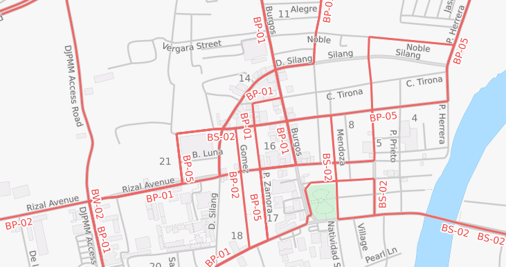
Map of Batangas City jeepney routes around the Poblacion area.
Licensing
![]()
![]()
![]()
This work is licensed under the Creative Commons Attribution-ShareAlike 2.0 License.
Attribution: TagaSanPedroAko. Transport map tiles by Andy Allan (ThunderForest)
Attribution: TagaSanPedroAko. Transport map tiles by Andy Allan (ThunderForest)
| Contains map data © OpenStreetMap contributors, made available under the terms of the Open Database License (ODbL).
The ODbL does not require any particular license for maps produced from ODbL data, produced maps may be subject also to other licences. |
File history
Click on a date/time to view the file as it appeared at that time.
| Date/Time | Thumbnail | Dimensions | User | Comment | |
|---|---|---|---|---|---|
| current | 05:19, 2 January 2016 | | 731 × 387 (107 KB) | TagaSanPedroAko (talk | contribs) | Map of Batangas City jeepney routes around the Poblacion area. |
You cannot overwrite this file.
File usage
The following 2 pages use this file:
.png&oldid=2376639)