File:Bath.png
Jump to navigation
Jump to search

Size of this preview: 424 × 600 pixels. Other resolutions: 170 × 240 pixels | 339 × 480 pixels | 543 × 768 pixels | 1,240 × 1,754 pixels.
Original file (1,240 × 1,754 pixels, file size: 153 KB, MIME type: image/png)
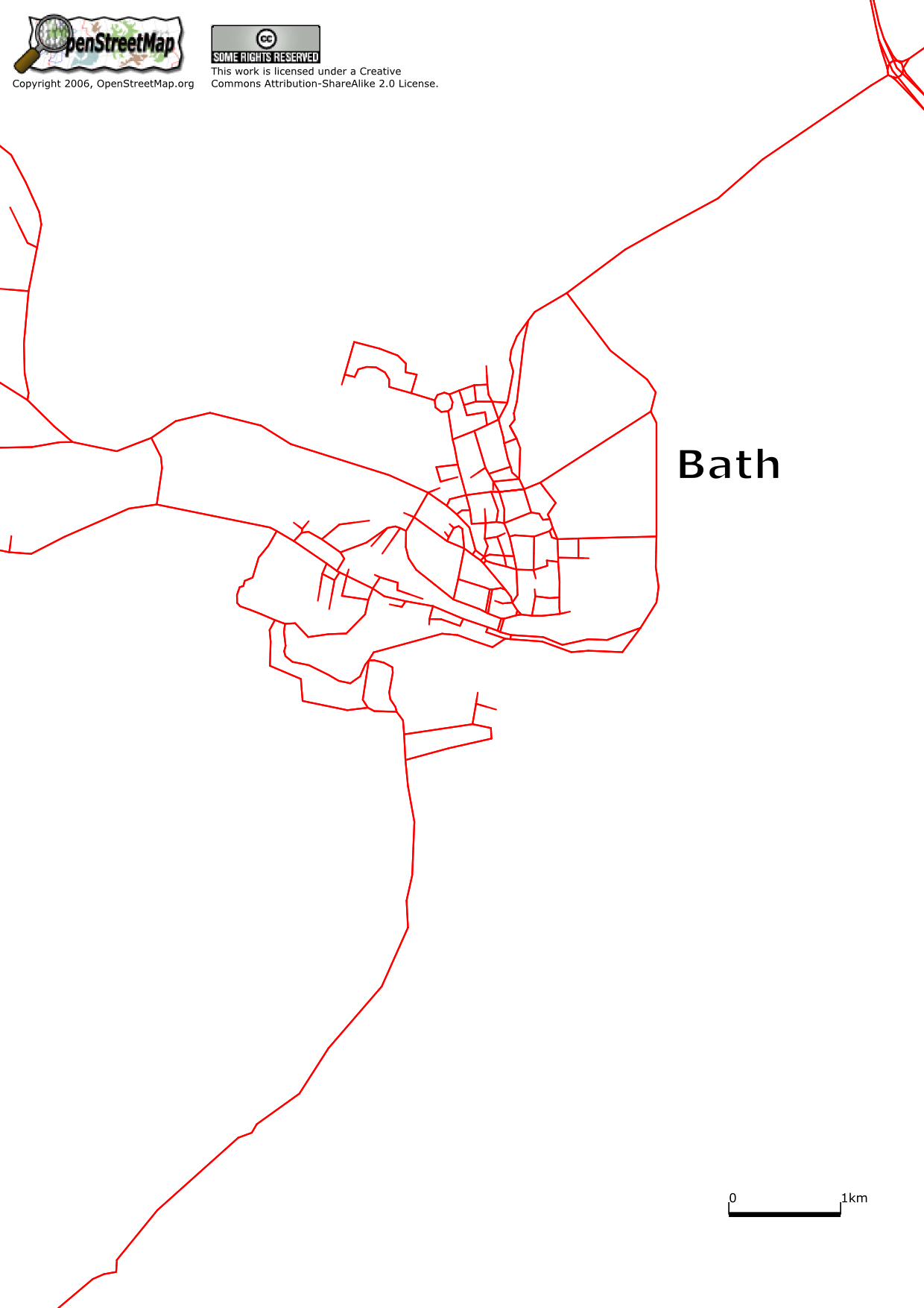
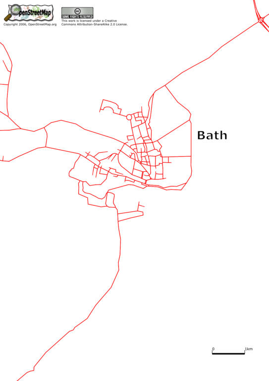
Bath has a good deal of OSM coverage in the very centre with many roads named. Most need to be tagged with highway type. Outside the central area there has only been minor mapping to date.
File history
Click on a date/time to view the file as it appeared at that time.
| Date/Time | Thumbnail | Dimensions | User | Comment | |
|---|---|---|---|---|---|
| current | 12:55, 15 August 2006 | | 1,240 × 1,754 (153 KB) | Blackadder (talk | contribs) | Bath has a good deal of OSM coverage in the very centre with many roads named. Most need to be tagged with highway type. Outside the central area there has only been minor mapping to date. |
| 12:50, 15 August 2006 | 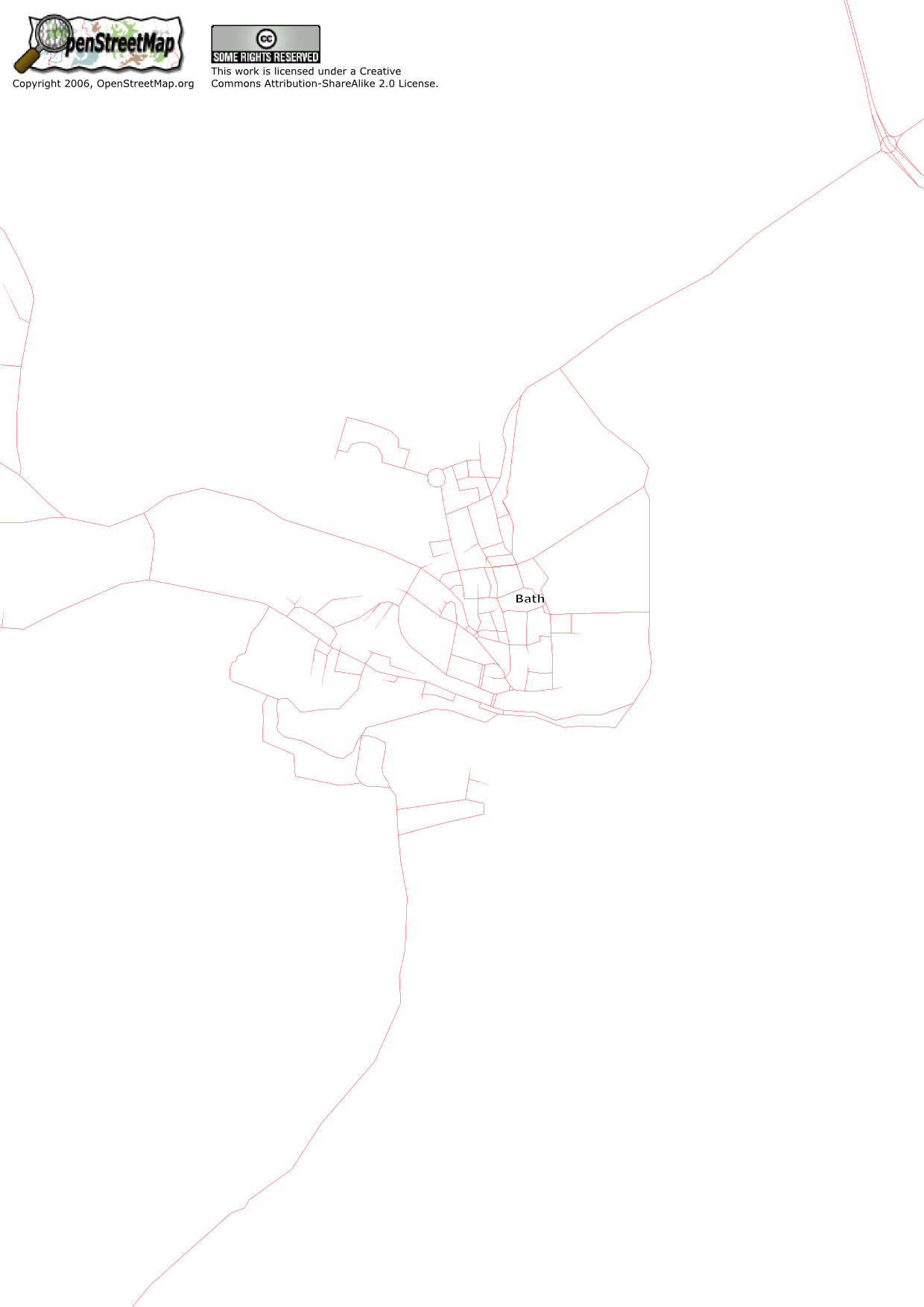 | 1,240 × 1,754 (114 KB) | Blackadder (talk | contribs) | Bath has a good deal of OSM coverage in the very centre with many roads named. Most need to be tagged with highway type. Outside the central area there has only been minor mapping to date. |
You cannot overwrite this file.
File usage
The following page uses this file: