File:Bedford area todo.png
Jump to navigation
Jump to search

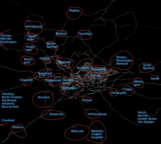
Size of this preview: 673 × 600 pixels. Other resolutions: 269 × 240 pixels | 539 × 480 pixels | 912 × 813 pixels.
Original file (912 × 813 pixels, file size: 151 KB, MIME type: image/png)
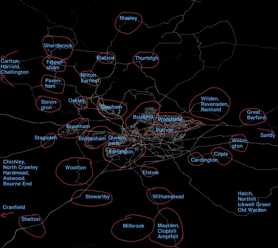
List of areas around Bedford, showing the density of tracklogs in each town, so that we can plan areas which need to be visited.
Place names here were taken from a copyrighted source, so don't include them in OSM data.
File history
Click on a date/time to view the file as it appeared at that time.
| Date/Time | Thumbnail | Dimensions | User | Comment | |
|---|---|---|---|---|---|
| current | 13:56, 22 June 2006 | | 912 × 813 (151 KB) | Ojw (talk | contribs) |
You cannot overwrite this file.
File usage
The following page uses this file: