File:Bing high resolution coverage of Chelyabinskaya oblast.png
Jump to navigation
Jump to search

Size of this preview: 575 × 600 pixels. Other resolutions: 230 × 240 pixels | 460 × 480 pixels | 864 × 901 pixels.
Original file (864 × 901 pixels, file size: 47 KB, MIME type: image/png)
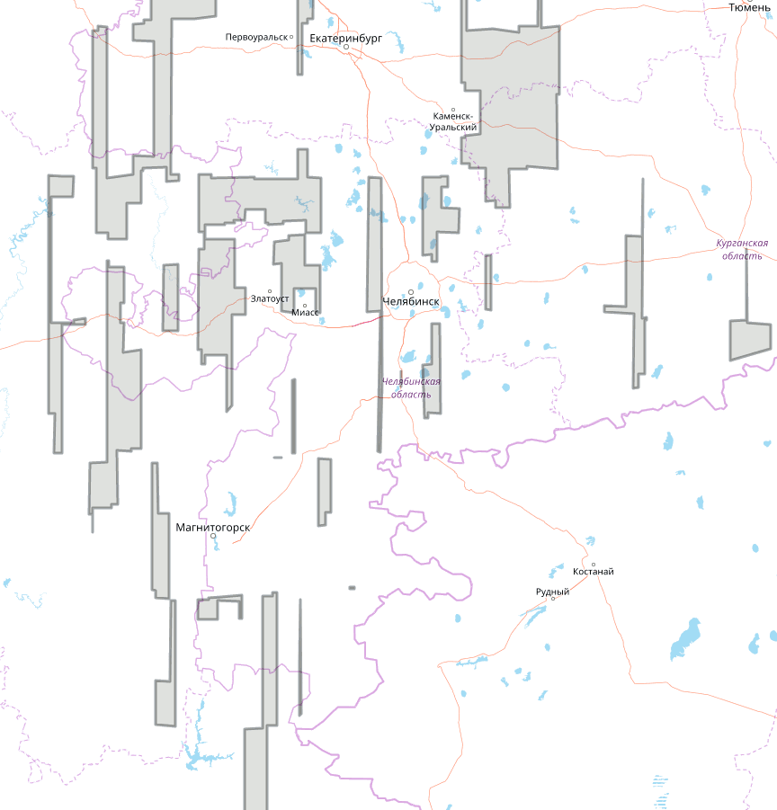
Russian: Дыры в покрытии Челябинской области спуниковыми снимками Bing высокого разрешения.
См. также
- https://github.com/shoorick/osm-imagery-chelyabinsk — интерактивная карта и координаты границ зоны покрытия в GeoJSON.
File history
Click on a date/time to view the file as it appeared at that time.
| Date/Time | Thumbnail | Dimensions | User | Comment | |
|---|---|---|---|---|---|
| current | 21:44, 24 March 2018 | | 864 × 901 (47 KB) | Shoorick (talk | contribs) | Marked area were inverted, so filled area means no good imagery. Data updated according to March 2018. |
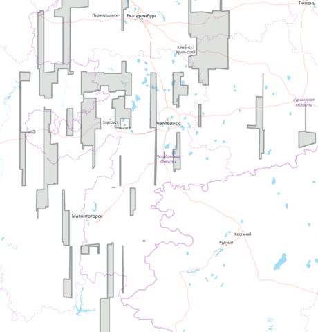
| 19:37, 17 September 2013 | 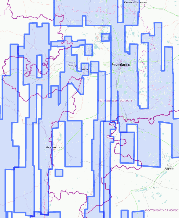 | 586 × 713 (57 KB) | Shoorick (talk | contribs) | Covered areas added | |
| 14:59, 21 January 2011 | 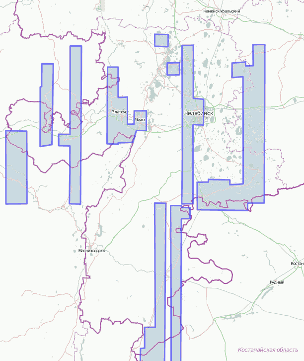 | 612 × 726 (37 KB) | Shoorick (talk | contribs) | Russian: Покрытие Челябинской области спуниковыми снимками Bing высокого разрешения. |
You cannot overwrite this file.
File usage
The following page uses this file: