File:Br-classificacao-dourados-ms-plano-diretor.jpg
Jump to navigation
Jump to search
Size of this preview: 800 × 528 pixels. Other resolutions: 320 × 211 pixels | 640 × 422 pixels | 1,015 × 670 pixels.
Original file (1,015 × 670 pixels, file size: 241 KB, MIME type: image/jpeg)
Summary
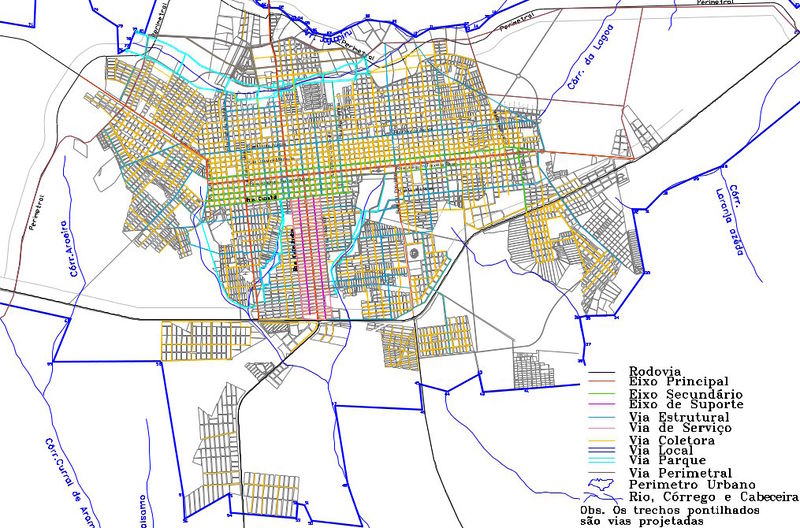
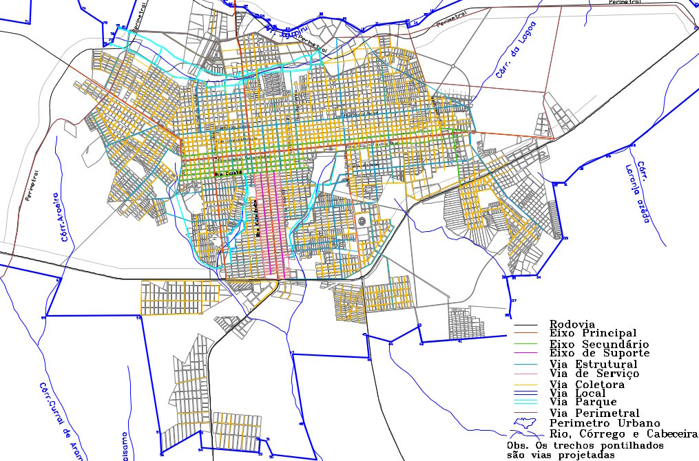
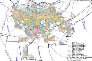
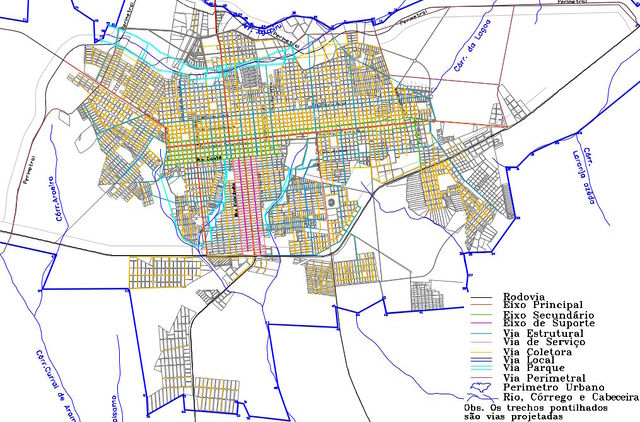
Classificação oficial segundo o plano diretor, publicada em 3 de setembro de 2014.
Disponível oficialmente no site da Prefeitura em Cidadão > Legislação > Leis Complementares > LC 205 – Dispõe sobre o Zoneamento, Uso e Ocupação do Solo e o Sistema Viário no Município de Dourados e dá outras providências > Anexo V – do sistema viário básico (mapa 4).
Licensing
![]()
This file has been released into the public domain by the copyright holder, its copyright has expired, or it is ineligible for copyright. This applies worldwide.
Please, please use more specific template such as {{PD-self}} / {{PD-creator}} / {{PD-shape}} / {{PD-USGov}} / {{PD-old}} / {{PD-RU-exempt}} ... This template is not making clear why this work is in the public domain.
Please, please use more specific template such as {{PD-self}} / {{PD-creator}} / {{PD-shape}} / {{PD-USGov}} / {{PD-old}} / {{PD-RU-exempt}} ... This template is not making clear why this work is in the public domain.
File history
Click on a date/time to view the file as it appeared at that time.
| Date/Time | Thumbnail | Dimensions | User | Comment | |
|---|---|---|---|---|---|
| current | 02:29, 6 October 2015 | | 1,015 × 670 (241 KB) | Ftrebien (talk | contribs) | Classificação oficial segundo o plano diretor, publicada em 3 de setembro de 2014. Disponível oficialmente no site da [http://www.dourados.ms.gov.br/ Prefeitura] em Cidadão > [http://www.dourados.ms.gov.br/index.php/categoria/legislacao/ Legislaç... |
You cannot overwrite this file.
File usage
The following page uses this file: