File:Bridge pipeline footway.jpg
Jump to navigation
Jump to search

Size of this preview: 800 × 600 pixels. Other resolutions: 320 × 240 pixels | 640 × 480 pixels | 1,024 × 768 pixels | 1,280 × 960 pixels | 2,560 × 1,920 pixels.
Original file (2,560 × 1,920 pixels, file size: 1.12 MB, MIME type: image/jpeg)
Summary
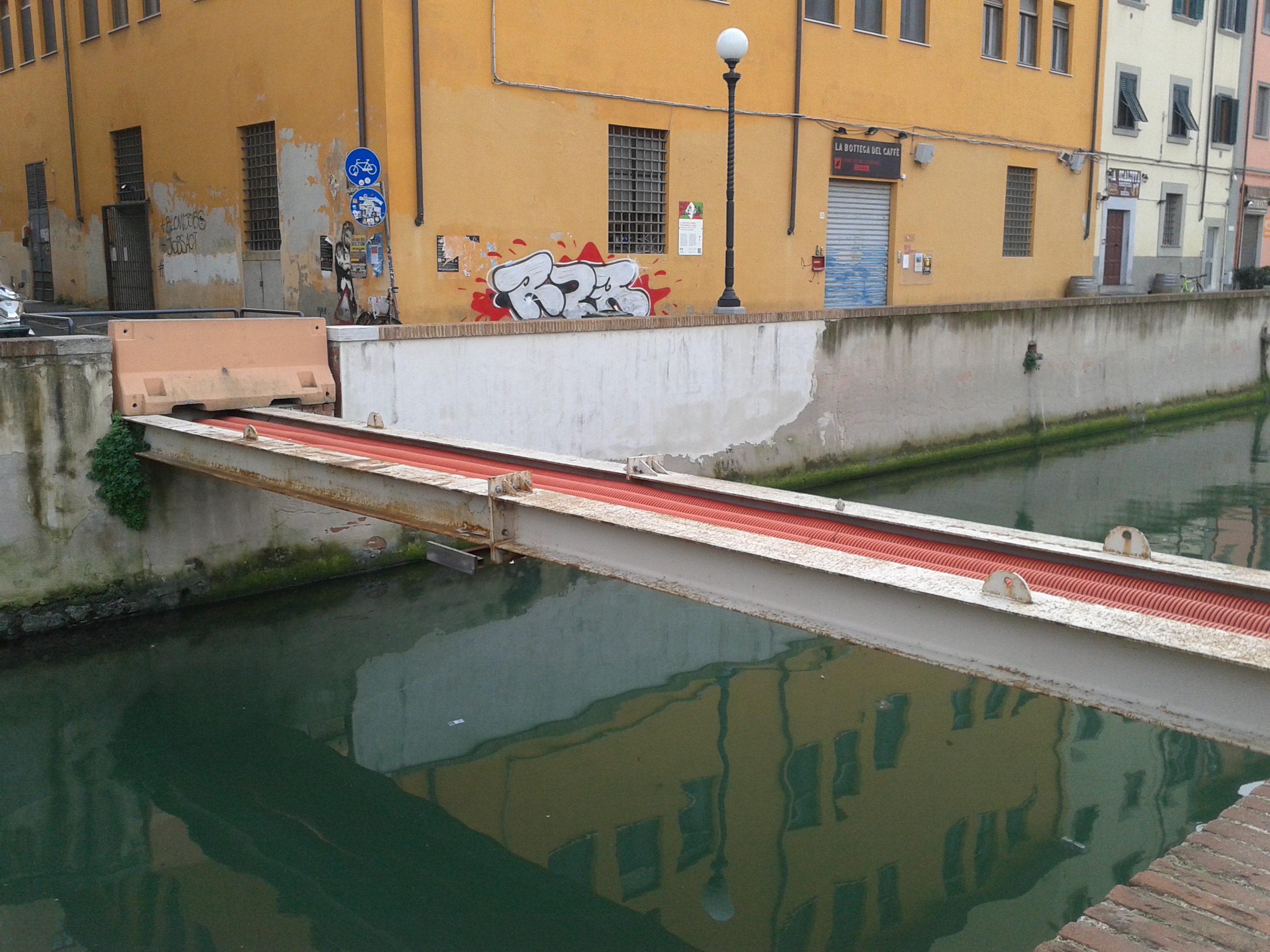
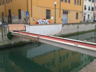
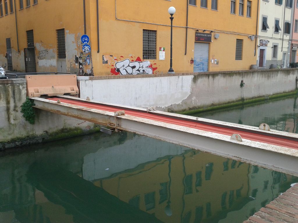
This structure[1] connects two sides of a canal in Leghorn (Italy); I suppose its main purpose is just to transport electricity but a person might be able to walk on it.
So, are highway:footway and/or bridge=yes tags wrong in this case?
Licensing
- This media file was uploaded by author of the work and its copyright holder.
![]()
![]()
![]()
This work is licensed under the Creative Commons Attribution-ShareAlike 2.0 License.
Attribution: Marcor
Attribution: Marcor
File history
Click on a date/time to view the file as it appeared at that time.
| Date/Time | Thumbnail | Dimensions | User | Comment | |
|---|---|---|---|---|---|
| current | 20:32, 25 January 2015 | | 2,560 × 1,920 (1.12 MB) | Marcor (talk | contribs) | This structure connects two sides of a canal in Leghorn (Italy); I suppose its main purpose is just to transport electricity but a person might be able to walk on it. So, are highway:footway and/or bridge=yes tags wrong in this case? |
You cannot overwrite this file.
File usage
There are no pages that use this file.