File:Cabrero0.png
Jump to navigation
Jump to search

Size of this preview: 654 × 600 pixels. Other resolutions: 262 × 240 pixels | 523 × 480 pixels | 907 × 832 pixels.
Original file (907 × 832 pixels, file size: 54 KB, MIME type: image/png)
Summary
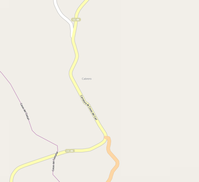
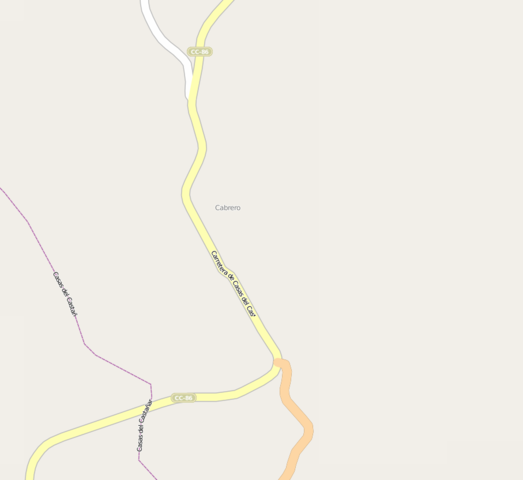
Estado del casco urbano de Cabrero (Cáceres) antes de importar los ejes de catastro
Licensing
![]()
![]()
![]()
This screenshot contains OpenStreetMap Carto rendering.
The OpenStreetMap Carto map style is made available under the Creative Commons CC-0 1.0 Universal Public Domain Dedication.
- Attribution to the map data:
![]()
Contains map data © OpenStreetMap contributors, made available under the terms of the Creative Commons Attribution-ShareAlike 2.0 (CC-BY-SA-2.0).
File history
Click on a date/time to view the file as it appeared at that time.
| Date/Time | Thumbnail | Dimensions | User | Comment | |
|---|---|---|---|---|---|
| current | 15:49, 2 May 2012 | | 907 × 832 (54 KB) | Carluti (talk | contribs) | Estado del casco urbano de Cabrero (Cáceres) antes de importar los ejes de catastro |
You cannot overwrite this file.
File usage
The following page uses this file: