File:Carpoolplaats De Kar.jpg
Jump to navigation
Jump to search

Size of this preview: 800 × 568 pixels. Other resolutions: 320 × 227 pixels | 640 × 454 pixels | 1,024 × 726 pixels | 1,280 × 908 pixels | 2,560 × 1,816 pixels | 3,390 × 2,405 pixels.
Original file (3,390 × 2,405 pixels, file size: 1.37 MB, MIME type: image/jpeg)
This file and its description are from Wikimedia Commons.
Summary
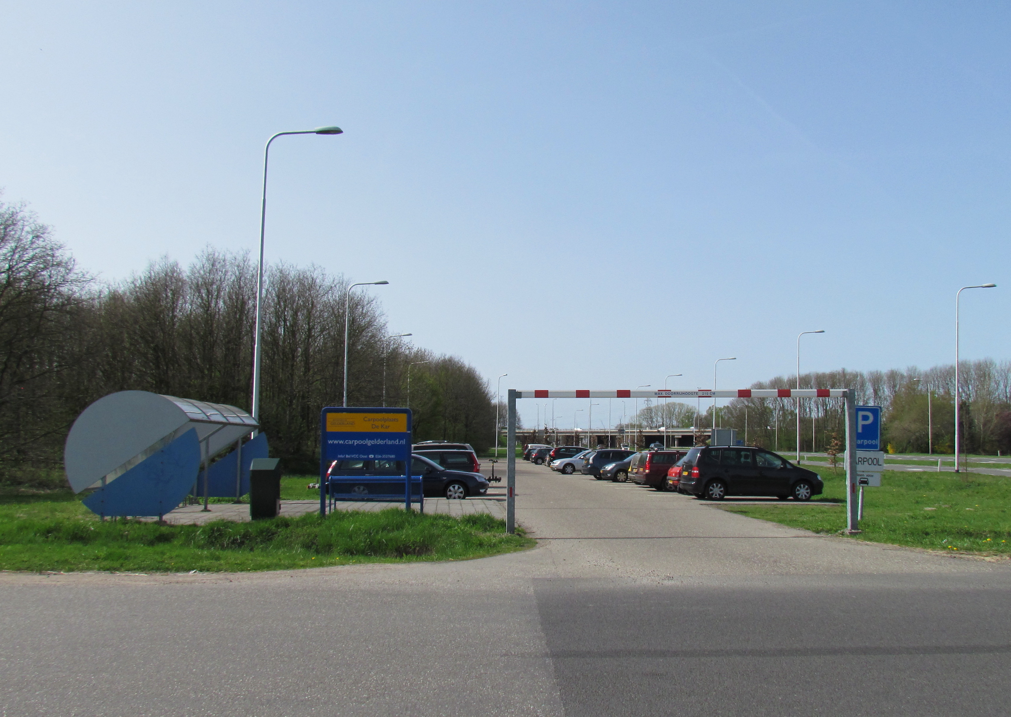
| Description | Carpool pick-up point 'De Kar' near Apeldoorn |
| Date | |
| Source | Own work |
| Author | Apdency |
| Camera location | | View this and other nearby images on: OpenStreetMap |
|---|
Licensing
| I, the copyright holder of this work, release this work into the public domain. This applies worldwide. In some countries this may not be legally possible; if so: I grant anyone the right to use this work for any purpose, without any conditions, unless such conditions are required by law. |
File history
Click on a date/time to view the file as it appeared at that time.
| Date/Time | Thumbnail | Dimensions | User | Comment | |
|---|---|---|---|---|---|
| current | 11:53, 22 December 2012 | | 3,390 × 2,405 (1.37 MB) | wikimediacommons>Apdency | Reverted to version as of 09:55, 12 March 2012. To show the whole facility |
File usage
The following 6 pages use this file: