File:Carte secteur-Openstreetmap-Nantes.jpg
Jump to navigation
Jump to search
Size of this preview: 800 × 564 pixels. Other resolutions: 320 × 226 pixels | 640 × 451 pixels | 1,024 × 722 pixels | 1,248 × 880 pixels.
Original file (1,248 × 880 pixels, file size: 280 KB, MIME type: image/jpeg)
Summary
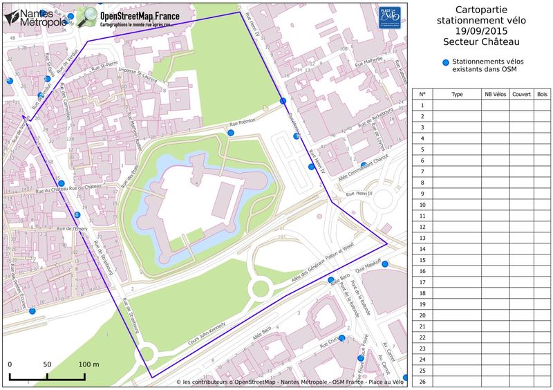
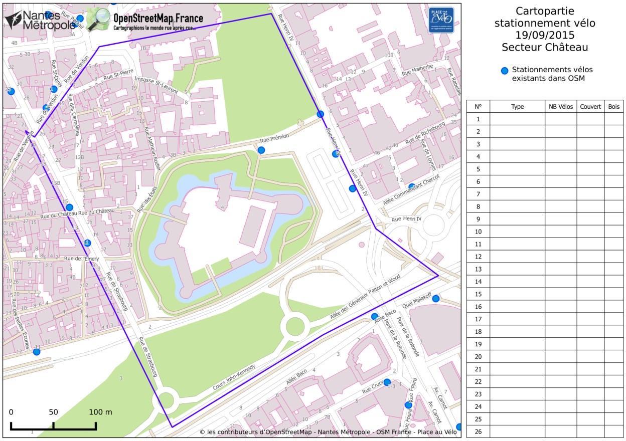
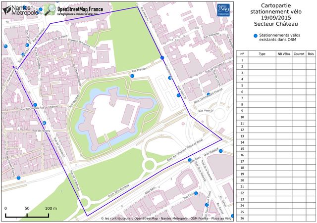
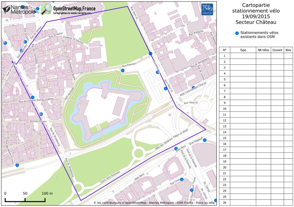
Exemple de carte pour la cartopartie vélo le 19/9/2015 à Nantes
Licensing
![]()
![]()
![]()
This work is licensed under the Creative Commons Attribution-ShareAlike 3.0 License.
Attribution not specified as a parameter! THIS LICENSE ALWAYS REQUIRES ATTRIBUTION! Use {{CC-BY-SA-3.0|Attribution, typically name of author}} See Template:CC-BY-SA-3.0 for full description how this template should be used.
Attribution not specified as a parameter! THIS LICENSE ALWAYS REQUIRES ATTRIBUTION! Use {{CC-BY-SA-3.0|Attribution, typically name of author}} See Template:CC-BY-SA-3.0 for full description how this template should be used.
File history
Click on a date/time to view the file as it appeared at that time.
| Date/Time | Thumbnail | Dimensions | User | Comment | |
|---|---|---|---|---|---|
| current | 20:54, 10 October 2015 | | 1,248 × 880 (280 KB) | Naomap (talk | contribs) | Exemple de carte pour la cartopartie vélo le 19/9/2015 à Nantes |
You cannot overwrite this file.
File usage
The following 2 pages use this file: