File:Cczone.png
Jump to navigation
Jump to search


Size of this preview: 800 × 582 pixels. Other resolutions: 320 × 233 pixels | 640 × 466 pixels | 1,005 × 731 pixels.
Original file (1,005 × 731 pixels, file size: 349 KB, MIME type: image/png)
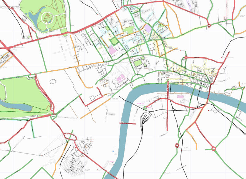
Map of congestion charge zone prior to London mapping party
File history
Click on a date/time to view the file as it appeared at that time.
| Date/Time | Thumbnail | Dimensions | User | Comment | |
|---|---|---|---|---|---|
| current | 20:29, 26 January 2007 | | 1,005 × 731 (349 KB) | Steve8 (talk | contribs) | Map of congestion charge zone prior to London mapping party |
You cannot overwrite this file.
File usage
The following page uses this file: