File:Chickpete Bengaluru OSM improvement.gif
Jump to navigation
Jump to search

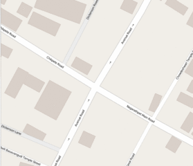
Size of this preview: 696 × 599 pixels. Other resolutions: 279 × 240 pixels | 557 × 480 pixels | 742 × 639 pixels.
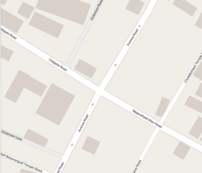
Original file (742 × 639 pixels, file size: 566 KB, MIME type: image/gif, looped, 26 frames, 5.8 s)
Summary
Improving the map with details of buildings and shops after a walk in the densest part of Bengaluru city. This junction is also considered the first road created by the founder of the city
Licensing
![]()
![]()
This screenshot contains OpenStreetMap Carto rendering.
The OpenStreetMap Carto map style is made available under the Creative Commons CC-0 1.0 Universal Public Domain Dedication.
- Attribution to the map data:
| Contains map data © OpenStreetMap contributors, made available under the terms of the Open Database License (ODbL).
The ODbL does not require any particular license for maps produced from ODbL data, produced maps may be subject also to other licences. |
File history
Click on a date/time to view the file as it appeared at that time.
| Date/Time | Thumbnail | Dimensions | User | Comment | |
|---|---|---|---|---|---|
| current | 18:48, 26 May 2016 | | 742 × 639 (566 KB) | Planemad (talk | contribs) | Improving the map with details of buildings and shops after a walk in the densest part of Bengaluru city. This junction is also considered the first road created by the founder of the city |
You cannot overwrite this file.
File usage
The following 2 pages use this file: