File:Chile imagery JAXA-ALOS-AVNIR-2 2010-02-27 south.png
Jump to navigation
Jump to search

No higher resolution available.
Chile_imagery_JAXA-ALOS-AVNIR-2_2010-02-27_south.png (721 × 384 pixels, file size: 134 KB, MIME type: image/png)
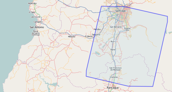
screenshot of 419516![]() 419516 High-resolution imagery boundary, Feb 2010 Chile, contributed by Japan Aerospace Exploration Agency
419516 High-resolution imagery boundary, Feb 2010 Chile, contributed by Japan Aerospace Exploration Agency
File history
Click on a date/time to view the file as it appeared at that time.
| Date/Time | Thumbnail | Dimensions | User | Comment | |
|---|---|---|---|---|---|
| current | 13:25, 28 February 2010 | | 721 × 384 (134 KB) | Ceyockey (talk | contribs) | uploading the correct image now |
| 13:22, 28 February 2010 | 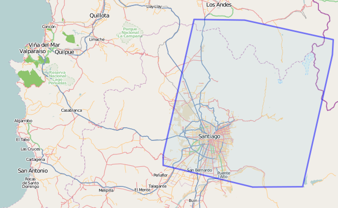 | 672 × 415 (150 KB) | Ceyockey (talk | contribs) | screenshot of {{relation|419516}} High-resolution imagery boundary, Feb 2010 Chile, contributed by Japan Aerospace Exploration Agency |
You cannot overwrite this file.
File usage
There are no pages that use this file.