File:Coleman school walk.png
Jump to navigation
Jump to search

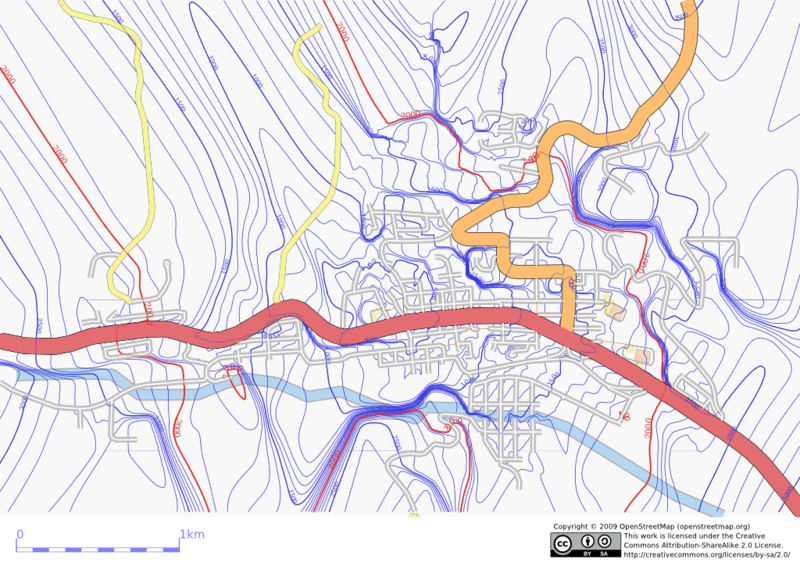
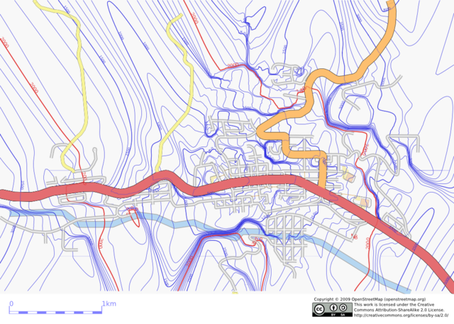
Size of this preview: 800 × 570 pixels. Other resolutions: 320 × 228 pixels | 640 × 456 pixels | 1,024 × 729 pixels.
Original file (1,024 × 729 pixels, file size: 549 KB, MIME type: image/png)
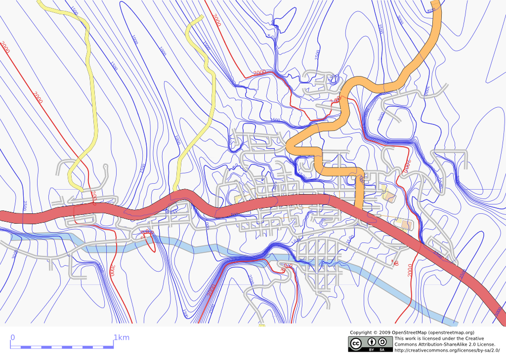
First rendering of contours showing distance to school along routable ways.
![]()
Contains map data © OpenStreetMap contributors, made available under the terms of the Creative Commons Attribution-ShareAlike 2.0 (CC-BY-SA-2.0).
File history
Click on a date/time to view the file as it appeared at that time.
| Date/Time | Thumbnail | Dimensions | User | Comment | |
|---|---|---|---|---|---|
| current | 04:06, 16 July 2009 | | 1,024 × 729 (549 KB) | Mungewell (talk | contribs) | First rendering of contours showing distance to school along routable ways. |
You cannot overwrite this file.
File usage
The following page uses this file: