File:ComparePGS.png
Jump to navigation
Jump to search

No higher resolution available.
ComparePGS.png (600 × 529 pixels, file size: 17 KB, MIME type: image/png)
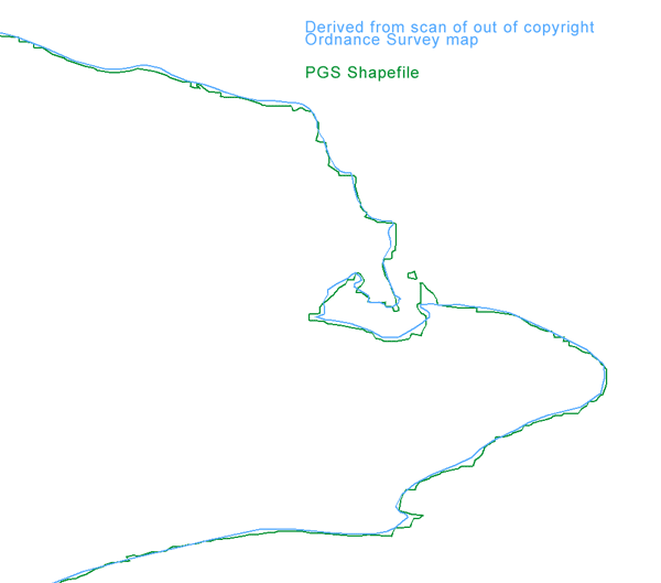
Comparison of PGS Shapefile coastline data with outline of coast taken from out of copyright Ordnance Survey map
File history
Click on a date/time to view the file as it appeared at that time.
| Date/Time | Thumbnail | Dimensions | User | Comment | |
|---|---|---|---|---|---|
| current | 09:56, 15 August 2006 | | 600 × 529 (17 KB) | Dmgroom (talk | contribs) | Comparison of PGS Shapefile coastline data with outline of coast taken from out of copyright Ordnance Survey map |
You cannot overwrite this file.
File usage
There are no pages that use this file.