File:Cycle contours.png
Jump to navigation
Jump to search
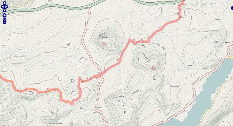
Size of this preview: 800 × 435 pixels. Other resolutions: 320 × 174 pixels | 640 × 348 pixels | 1,138 × 619 pixels.
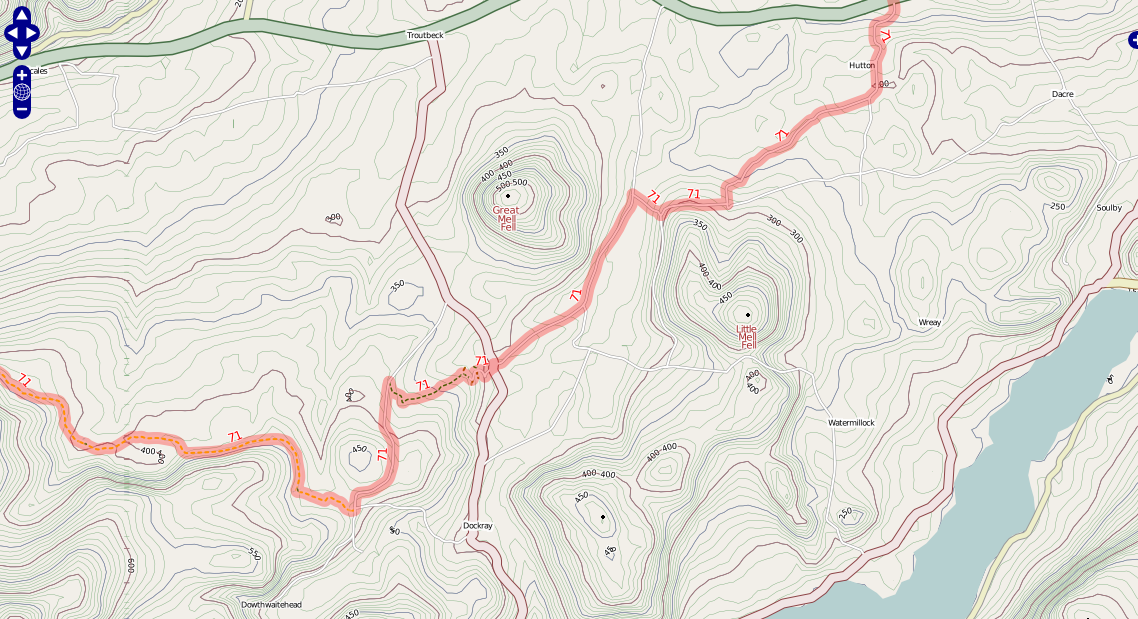
Original file (1,138 × 619 pixels, file size: 464 KB, MIME type: image/png)
A section of the cycle map showing multi-coloured contours. Taken from http://www.gravitystorm.co.uk/osm/?zoom=13&lat=7284975.8052&lon=-323711.38374&layers=B00
File history
Click on a date/time to view the file as it appeared at that time.
| Date/Time | Thumbnail | Dimensions | User | Comment | |
|---|---|---|---|---|---|
| current | 14:40, 23 February 2008 | | 1,138 × 619 (464 KB) | Gravitystorm (talk | contribs) | A section of the cycle map showing multi-coloured contours. Taken from http://www.gravitystorm.co.uk/osm/?zoom=13&lat=7284975.8052&lon=-323711.38374&layers=B00 |
You cannot overwrite this file.
File usage
The following page uses this file: