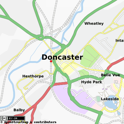
File:DoncasterMap.png
Jump to navigation
Jump to search

No higher resolution available.
DoncasterMap.png (400 × 400 pixels, file size: 137 KB, MIME type: image/png)
http://server.tah.openstreetmap.org/MapOf/?lat=53.522&long=-1.1337&z=13&w=400&h=400&format=png
Licensing
![]()
Contains map data © OpenStreetMap contributors, made available under the terms of the Creative Commons Attribution-ShareAlike 2.0 (CC-BY-SA-2.0).
File history
Click on a date/time to view the file as it appeared at that time.
| Date/Time | Thumbnail | Dimensions | User | Comment | |
|---|---|---|---|---|---|
| current | 12:18, 30 December 2008 | | 400 × 400 (137 KB) | Philipcullen (talk | contribs) | http://server.tah.openstreetmap.org/MapOf/?lat=53.522&long=-1.1337&z=13&w=400&h=400&format=png |
You cannot overwrite this file.
File usage
There are no pages that use this file.