File:Drehscheibe Köln, OSM-Karte im Helferzelt.jpg

Original file (856 × 592 pixels, file size: 181 KB, MIME type: image/jpeg)
Summary
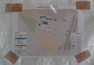
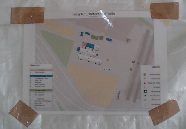
Am Köln/Bonner Flughafen steht neben Düsseldorf die Drehscheibe Köln für die Verteilung von Flüchtlingen in NRW bereit. Ein Foto aus dem Helferzelt, zeigt den Lageplan der Stadt Köln auf OSM-Basis. Leider ohne Namensnennung.
Licensing
![]()
![]()
![]()
Attribution not specified as a parameter! THIS LICENSE ALWAYS REQUIRES ATTRIBUTION! Use {{CC-BY-SA-3.0|Attribution, typically name of author}} See Template:CC-BY-SA-3.0 for full description how this template should be used.
|
This file is using CC license which requires attribution, but it is not clearly specified. Uploader very often is also the author, but not always! If you created this work on your own and it is not derivative of some preexisting work, please use: {{CC-BY-SA-3.0-self}} to mark it as own work. If anyone else was involved please use: {{CC-BY-SA-3.0|1=WHOEVER SHOULD BE ATTRIBUTED}} Note: The file page should clearly state that either it is fully work of uploader or clearly specify which sources were used, preferably linking them. Note: Maybe this license is wrong and a different one should be used! Wiki:Media file license chart may be helpful. If unsure, ask on Talk:Wiki After fixing attribution – please remove this template. Files without licenses marked with this template are listed in Category:Media without a proper attribution |
File history
Click on a date/time to view the file as it appeared at that time.
| Date/Time | Thumbnail | Dimensions | User | Comment | |
|---|---|---|---|---|---|
| current | 19:40, 5 October 2015 | | 856 × 592 (181 KB) | Jotpe (talk | contribs) | Am Köln/Bonner Flughafen steht neben Düsseldorf die Drehscheibe Köln für die Verteilung von Flüchtlingen in NRW bereit. Ein Foto aus dem Helferzelt, zeigt den Lageplan der Stadt Köln auf OSM-Basis. Leider ohne Namensnennung. |
You cannot overwrite this file.
File usage
There are no pages that use this file.