File:Dupenode map Columbia permalink 20110701 2052 EST.png
Jump to navigation
Jump to search

Size of this preview: 800 × 520 pixels. Other resolutions: 320 × 208 pixels | 640 × 416 pixels | 1,167 × 758 pixels.
Original file (1,167 × 758 pixels, file size: 191 KB, MIME type: image/png)
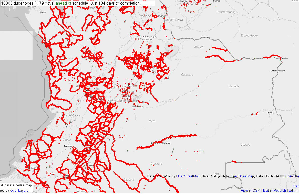
Central Colombia dupenode map from permalink http://matt.dev.openstreetmap.org/dupe_nodes/?zoom=7&lat=4.55938&lon=-73.20834&layers=BT collected on 01/07/2011 at 2052 AM EST.
![]()
The creator of this work, ceyockey, has released it into the public domain. This applies worldwide.
In case this is not legally possible, the creator has granted anyone the right to use this work for any purpose, without any conditions, unless such conditions are required by law.
Notice to creator or uploader: CC0 license might be more suitable. "Releasing work to public domain" has some issues, as it is not well defined in some jurisdictions and/or it is not actually possible to "release to public domain". Using CC0 license achieves the intended effect while avoiding such problems and is well suited for media files.
File history
Click on a date/time to view the file as it appeared at that time.
| Date/Time | Thumbnail | Dimensions | User | Comment | |
|---|---|---|---|---|---|
| current | 01:54, 8 January 2011 | | 1,167 × 758 (191 KB) | Ceyockey (talk | contribs) | Central Colombia dupenode map from permalink http://matt.dev.openstreetmap.org/dupe_nodes/?zoom=7&lat=4.55938&lon=-73.20834&layers=BT collected on 01/07/2011 at 2052 AM EST. {{PD-creator|ceyockey}} Category:Screenshots [[Category:2010 Colombia floods] |
You cannot overwrite this file.
File usage
There are no pages that use this file.