File:EQ Damaged Building aerial.png
Jump to navigation
Jump to search


Size of this preview: 656 × 600 pixels. Other resolutions: 263 × 240 pixels | 525 × 480 pixels | 724 × 662 pixels.
Original file (724 × 662 pixels, file size: 309 KB, MIME type: image/png)
Summary
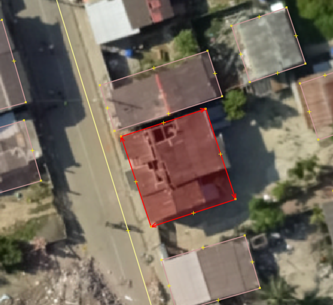
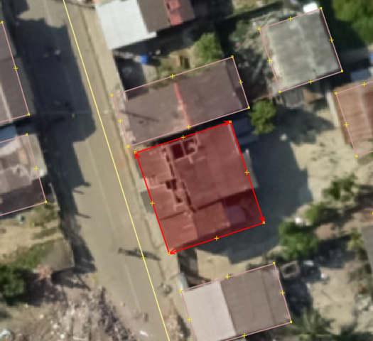
Ejemplo de edificio dañado en una imagen aérea UAV
Licensing
![]()
This file has been released into the public domain by the copyright holder, its copyright has expired, or it is ineligible for copyright. This applies worldwide.
Please, please use more specific template such as {{PD-self}} / {{PD-creator}} / {{PD-shape}} / {{PD-USGov}} / {{PD-old}} / {{PD-RU-exempt}} ... This template is not making clear why this work is in the public domain.
Please, please use more specific template such as {{PD-self}} / {{PD-creator}} / {{PD-shape}} / {{PD-USGov}} / {{PD-old}} / {{PD-RU-exempt}} ... This template is not making clear why this work is in the public domain.
File history
Click on a date/time to view the file as it appeared at that time.
| Date/Time | Thumbnail | Dimensions | User | Comment | |
|---|---|---|---|---|---|
| current | 21:02, 3 May 2016 | | 724 × 662 (309 KB) | Temporalista (talk | contribs) | Ejemplo de edificio dañado en una imagen aérea UAV |
You cannot overwrite this file.
File usage
The following 2 pages use this file: