File:Ea highway secondary rural.JPG
Jump to navigation
Jump to search


Size of this preview: 800 × 600 pixels. Other resolutions: 320 × 240 pixels | 640 × 480 pixels | 1,024 × 768 pixels | 1,280 × 960 pixels | 2,500 × 1,875 pixels.
Original file (2,500 × 1,875 pixels, file size: 1.31 MB, MIME type: image/jpeg)
Summary
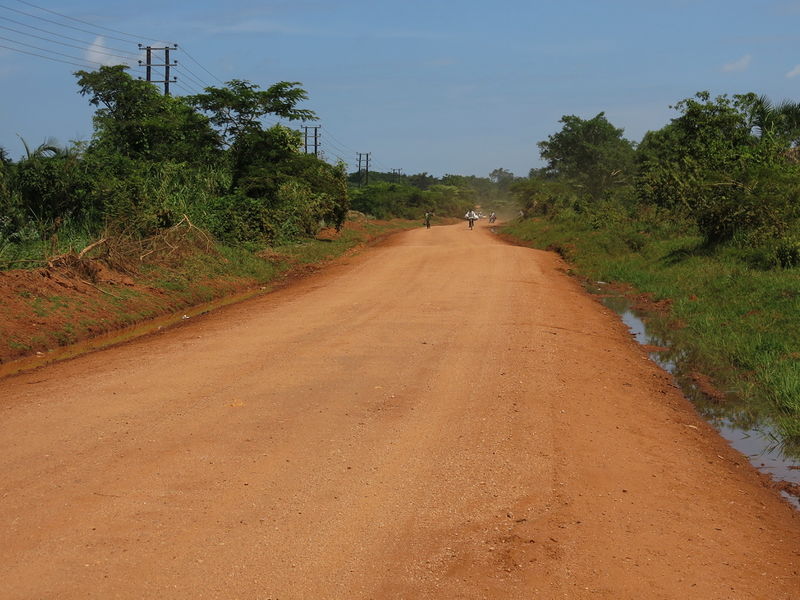
An example for a rural secondary road in East Africa. This picture shows the Luweero - Kiwoko Road in Luweero District, Uganda.
Licensing
![]()
I, the creator of this work, hereby release it into the public domain. This applies worldwide.
In case this is not legally possible, I grant anyone the right to use this work for any purpose, without any conditions, unless such conditions are required by law.
Notice to creator or uploader: Please consider using {{CC0-self}} instead for your work.
"Releasing work to public domain" has some issues, as it is not well defined in some jurisdictions and/or it is not actually possible to "release to public domain". Using CC0 license achieves the intended effect while avoiding such problems and is well suited for media files.
File history
Click on a date/time to view the file as it appeared at that time.
| Date/Time | Thumbnail | Dimensions | User | Comment | |
|---|---|---|---|---|---|
| current | 10:14, 30 May 2015 | | 2,500 × 1,875 (1.31 MB) | Jotam (talk | contribs) | An example for a rural secondary road in East Africa. This picture shows the Luweero - Kiwoko Road in Luweero District, Uganda. |
You cannot overwrite this file.
File usage
The following 4 pages use this file: