File:Fahrradkarte-Muehlen.png
Jump to navigation
Jump to search

Size of this preview: 640 × 599 pixels. Other resolutions: 256 × 240 pixels | 820 × 768 pixels | 1,128 × 1,056 pixels.
Original file (1,128 × 1,056 pixels, file size: 149 KB, MIME type: image/png)
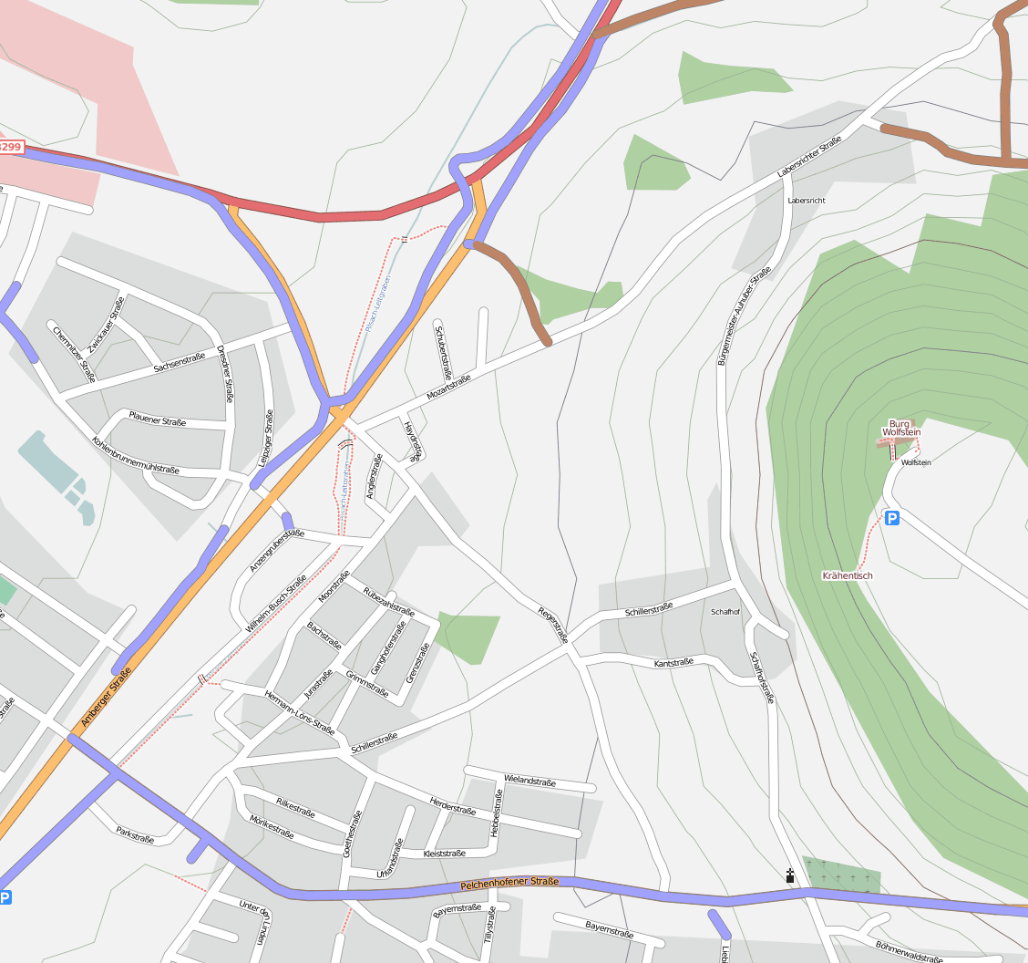
Karte von Mühlen in Neumarkt i. d. Opf, Fahrradwege und Feldwege hervorgehoben (auch Straßen mit cycleway=track oder cycleway=lane)
Map of Mühlen in Neumarkt i. d. Opf, cycleways and tracks highlighted (cycleways include streets with cycleway=track or cycleway=lane)
Licensing
| Contains map data © OpenStreetMap contributors, made available under the terms of the Open Database License (ODbL).
The ODbL does not require any particular license for maps produced from ODbL data, produced maps may be subject also to other licences. |
File history
Click on a date/time to view the file as it appeared at that time.
| Date/Time | Thumbnail | Dimensions | User | Comment | |
|---|---|---|---|---|---|
| current | 13:05, 27 July 2008 | | 1,128 × 1,056 (149 KB) | R2D2 (talk | contribs) | Karte von Mühlen in Neumarkt i. d. Opf, Fahrradwege und Feldwege hervorgehoben (auch Straßen mit cycleway=track oder cycleway=lane) Map of Mühlen in Neumarkt i. d. Opf, cycleways and tracks highlighted (cycleways include streets with cycleway= |
You cannot overwrite this file.
File usage
There are no pages that use this file.