File:Fi nodes from gps with tags.jpg
Jump to navigation
Jump to search

No higher resolution available.
Fi_nodes_from_gps_with_tags.jpg (231 × 173 pixels, file size: 9 KB, MIME type: image/jpeg)
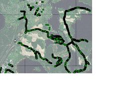
The result of making node from every single GPS epoch and giving tags for them.
File history
Click on a date/time to view the file as it appeared at that time.
| Date/Time | Thumbnail | Dimensions | User | Comment | |
|---|---|---|---|---|---|
| current | 07:21, 16 October 2007 | | 231 × 173 (9 KB) | JRA (talk | contribs) | |
| 07:15, 16 October 2007 | 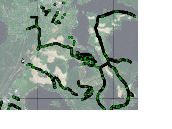 | 576 × 432 (37 KB) | JRA (talk | contribs) | The result of making node from every single GPS epoch and giving tags for them. |
You cannot overwrite this file.
File usage
The following 3 pages use this file: