File:Flaches Feld für Referenzmessung.jpg
Jump to navigation
Jump to search


Size of this preview: 797 × 87 pixels. Other resolution: 1,400 × 153 pixels.
Original file (1,400 × 153 pixels, file size: 32 KB, MIME type: image/jpeg)
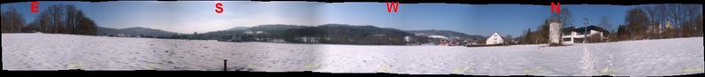
Autostitch Horizont < 15°
File history
Click on a date/time to view the file as it appeared at that time.
| Date/Time | Thumbnail | Dimensions | User | Comment | |
|---|---|---|---|---|---|
| current | 12:51, 30 January 2011 | 1,400 × 153 (32 KB) | Markus B (talk | contribs) | Autostitch Horizont < 15° |
You cannot overwrite this file.
File usage
The following 4 pages use this file: