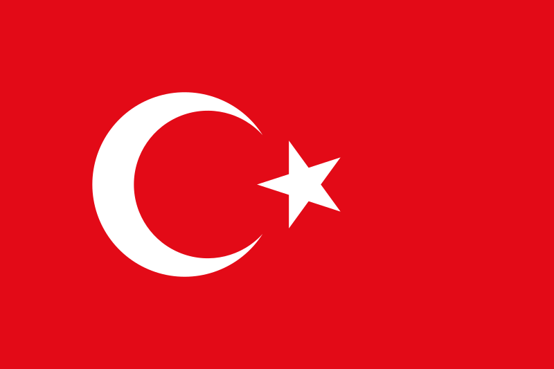
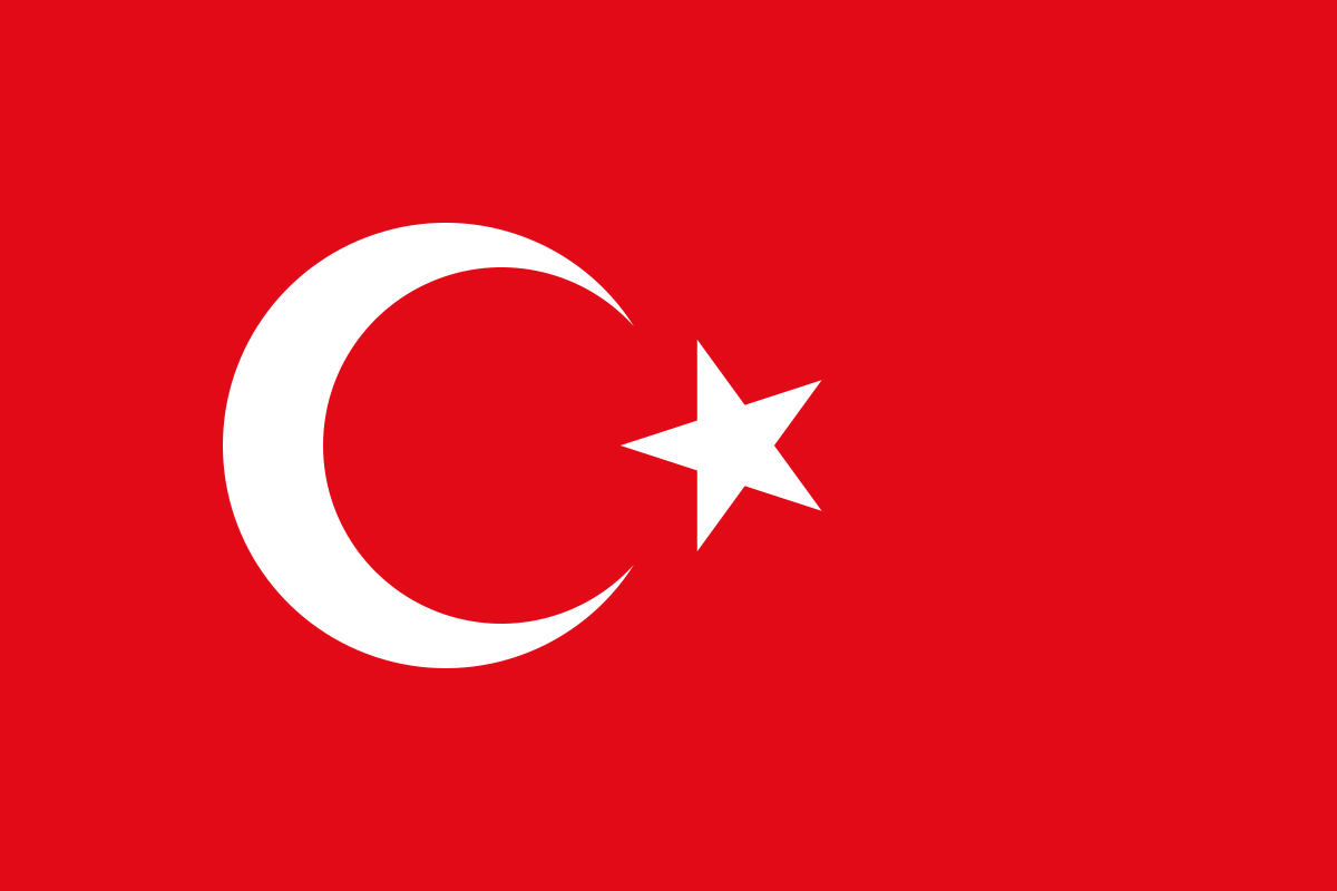
File:Flag of Turkey.svg
Jump to navigation
Jump to search

Size of this PNG preview of this SVG file: 800 × 533 pixels. Other resolutions: 320 × 213 pixels | 640 × 427 pixels | 1,024 × 683 pixels | 1,280 × 853 pixels | 1,200 × 800 pixels.
Original file (SVG file, nominally 1,200 × 800 pixels, file size: 324 bytes)
This file and its description are from Wikimedia Commons.
Summary
| Description |
Türkçe: Türk Bayrağı
العربية: علم تركيا
Azərbaycanca: Türk bayrağı
Беларуская: Сцяг Турцыі
Български: Национално знаме на Турция
Bosanski: Zastava Turske
Čeština: Turecká Vlajka
Deutsch: Türkische Flagge
Zazaki: Desmala Tırkiya
Ελληνικά: Σημαία της Τουρκίας
English: National Flag of Turkey
Esperanto: Flago de Turkio
Español: Bandera de Turquía
فارسی: پرچم ترکیه
Suomi: Turkin lippu
Français : Drapeau de la Turquie
Hrvatski: Zastava Republike Turske
Ἀρχαία ἑλληνικὴ: Τὸ τῆς Τουρκίας σημεῖον
Հայերեն: Թուրքիայի դրոշը
Italiano: Bandiera della Turchia
日本語: トルコの国旗
ქართული: თურქეთის დროშა
Қазақша: Түркия Bayrağı
ភាសាខ្មែរ: ទង់ជាតិទួរគី
한국어: 튀르키예의 국기
Kurdî: Ala Tirkiyeyê
Latina: Vexillum Turciae
Македонски: Знаме на Турција
Nederlands: Vlag van Turkije
Ποντιακά: Τουρκικόν η σημαία
Português: Bandeira da Turquia
Română: Drapelul Turciei
Русский: Флаг Турции
Srpskohrvatski / српскохрватски: Zastava Turske
Shqip: Flamuri i Turqisë
Српски / srpski: Zastava Turske
Svenska: Turkiets flagga
Українська: Прапор Туреччини
اردو: ترکی کا پرچم
Volapük: Stän Türkäna
中文:土耳其国旗 |
||||||||
| Date | (Ottoman flag); 1936 (standardised) | ||||||||
| Source | Turkish Flag Law (Türk Bayrağı Kanunu), Law nr. 2893 of 22 September 1983. Text (in Turkish) at the website of the Turkish Historical Society (Türk Tarih Kurumu) | ||||||||
| Author | David Benbennick (original author) | ||||||||
| Permission (Reusing this file) |
|
||||||||
| Other versions |
|
||||||||
| SVG development | This flag was created with a text editor. |


.svg)
.svg)


Colours scheme |
Red | White |
|---|---|---|
| RGB | 227-10-23 | 255-255-255 |
| Hexadecimal | #E30A17 | #FFFFFF |
| CMYK | 0, 96, 90, 11 | 0, 0, 0, 0 |
This image was selected as picture of the day on Wikimedia Commons for 18 December 2006. It was captioned as follows: English: Flag of Turkey. Other languages:
Čeština: Turecká vlajka Cymraeg: Baner Twrci. Dansk: Tyrkiets flag. Deutsch: Flagge der Türkei English: Flag of Turkey. Español: La bandera de Turquía. Esperanto: Flago de Turkio Français : Drapeau de la Turquie. Galego: Bandeira de Turquía Hrvatski: Zastava Turske. Italiano: Bandiera della Turchia. Nederlands: De Turkse vlag. Polski: Flaga Turcji. Português: A bandeira da Turquia. Sicilianu: Bannera dâ Turchìa. Slovenčina: Turecká vlajka Svenska: Den turkiska flaggan. Türkçe: Türkiye Bayrağı. Русский: Флаг Турции 日本語: トルコの国旗 中文: 土耳其国旗 العربية : علم تركيا. |
File history
Click on a date/time to view the file as it appeared at that time.
| Date/Time | Thumbnail | Dimensions | User | Comment | |
|---|---|---|---|---|---|
| current | 08:51, 8 August 2021 | | 1,200 × 800 (324 bytes) | wikimediacommons>Jdx | Per request on COM:AN/B |
File usage
The following 90 pages use this file:
- Asia
- Comparison of Asian road signs
- Contributors
- Cs:Tag:route=train
- Default speed limits
- Et:Key:highway
- Eurasia
- Europe
- Foundation/Local Chapters/OSM 17-hour Global Mapathon
- Greece/Borders
- Highway:International equivalence
- Key:isced:level
- Key:payment:*
- Life Long Learning Mapping Project
- List of OSM centric Facebook accounts
- List of OSM centric Telegram accounts
- List of territory based projects
- MychOSM/Istanbul
- OSM 17th Birthday Celebration - Asia Pacific
- OSM tags for routing/Maxspeed
- OSM tags for routing/Minspeed
- OSM tags for routing/Tolerances
- OpenStreetMap 17th Anniversary Birthday party
- OpenStreetMap in the media/2011
- OpenStreetMap in the media/2012
- OpenStreetMap in the media/2015
- Past Events 2012
- Past Events 2013
- Past Events 2016
- Past Events 2017
- Past events 2019
- Pt:Highway:International equivalence
- Pt:Life Long Learning Mapping Project
- Pt:Tag:boundary=administrative
- Ro:Life Long Learning Mapping Project
- Sl:Life Long Learning Mapping Project
- Sq:Key:highway
- Tag:boundary=administrative
- Tag:highway=motorway
- Tag:highway=trunk
- Tag:route=train
- Tr:Key:boundary
- Tr:Life Long Learning Mapping Project
- Tr:MychOSM/Istanbul
- WikiProject Metro systems
- Zh-hans:Asia
- Zh-hans:List of territory based projects
- Zh-hans:Tag:highway=living street
- Zh-hans:Tag:highway=motorway
- User:3mirhan*
- User:Alv
- User:BenMaierEU
- User:Catwb77
- User:Erkinalp
- User:Gaurav Thapa
- User:Hakan
- User:Hocu
- User:Katpatuka
- User:Marek Kleciak
- User:Marek kleciak
- User:Nesim
- User:Pigsonthewing
- User:Skippern/World
- User:Vulfbear
- User talk:Fredao
- User talk:Reneman/Archiv
- Template:Admin level
- Template:Countries of Asia
- Template:Countries of Europe
- Template:FR:Admin level
- Template:Highway:International equivalence
- Template:Navbar Comenius
- Template:Navbar Comenius/doc
- Template:User hails from europe
- Template:User hails from europe/doc
- DE:Life Long Learning Mapping Project
- FR:Highway:International equivalence
- FR:Key:admin level
- FR:Key:isced:level
- FR:Tag:boundary=administrative
- ES:Colaboradores
- ES:Key:isced:level
- ES:Proyecto de mapeo Aprendizaje a Largo Plazo
- ES:Tag:route=train
- IT:Contributors
- IT:Key:boundary
- IT:Key:highway
- RU:Key:highway
- JA:OSMを中心としたFacebookアカウントの一覧
- JA:協力者