File:Flag of the Turks and Caicos Islands.svg
Jump to navigation
Jump to search


Size of this PNG preview of this SVG file: 800 × 400 pixels. Other resolutions: 320 × 160 pixels | 640 × 320 pixels | 1,024 × 512 pixels | 1,280 × 640 pixels.
Original file (SVG file, nominally 1,200 × 600 pixels, file size: 7 KB)
This file and its description are from Wikimedia Commons.
Summary
| Description |
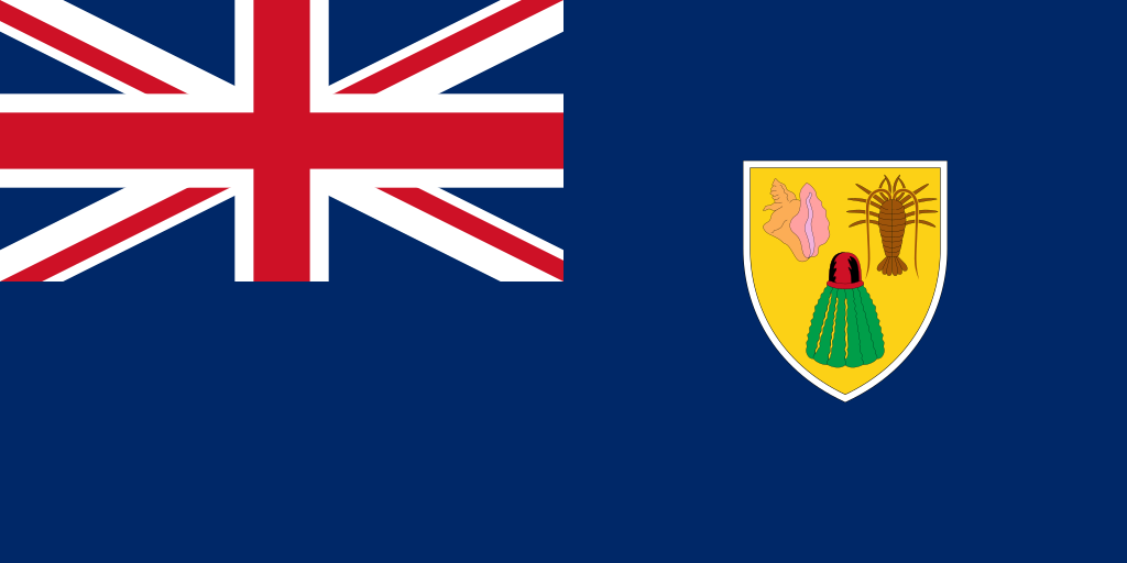
English: Flag of the Turks and Caicos Islands
Cymraeg: Baner Ynysoedd Turks a Caicos
Gaeilge: Bratach na dTurcach agus Caicos
Kernowek: Baner Turks ha Kaykos
Italiano: Bandiera di Turks e Caicos
|
| Color | as per 2016 ordinance: #002868 #ce1126 #fcd116 #9e540a #009e49 #fcad56 #ffa1a1 #f1b2dc #ffffff #000000 |
| Date | 24 November 2006 (original upload date) |
| Source | from the Open Clip Art website |
| Author | Unknown author |
| SVG development |
This work created by the United Kingdom Government is in the public domain.
This is because it is one of the following:
HMSO has declared that the expiry of Crown Copyrights applies worldwide (ref: HMSO Email Reply)
|
 |
This file is in the public domain because the author of xrmap, who created this image, previously stated that his images are in the public domain.
|
File history
Click on a date/time to view the file as it appeared at that time.
| Date/Time | Thumbnail | Dimensions | User | Comment | |
|---|---|---|---|---|---|
| current | 02:44, 22 February 2019 | | 1,200 × 600 (7 KB) | wikimediacommons>MapGrid | Reduced file size. Colours updated to match RGB values documented in the 2016 Ordinance. White border redrawn with a constant thickness all around the shield (previously it was slightly fatter on the top than on the sides). Thin black lines inside and outside of white border reinstated to match image used in 2016 Ordinance and image used on Attorney General website. See talk page for more information. |
File usage
The following 4 pages use this file: