File:Garmin Maps Maptiles Germany.png
Jump to navigation
Jump to search

Size of this preview: 600 × 600 pixels. Other resolutions: 240 × 240 pixels | 480 × 480 pixels | 780 × 780 pixels.
Original file (780 × 780 pixels, file size: 156 KB, MIME type: image/png)
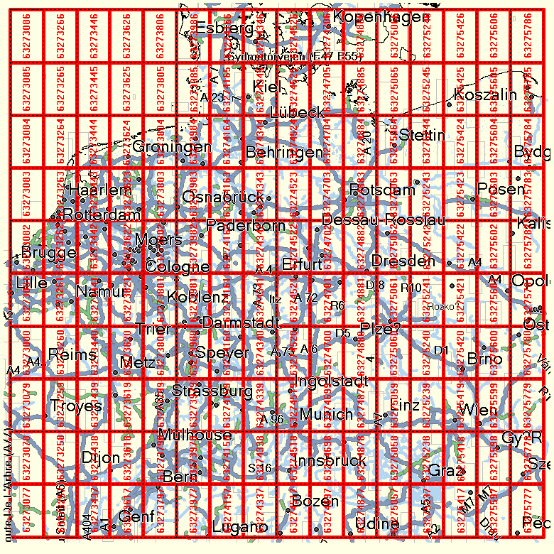
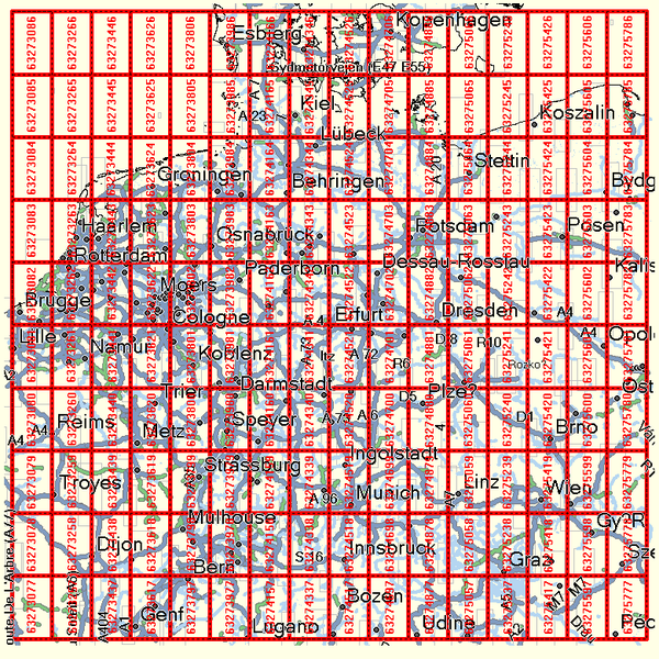
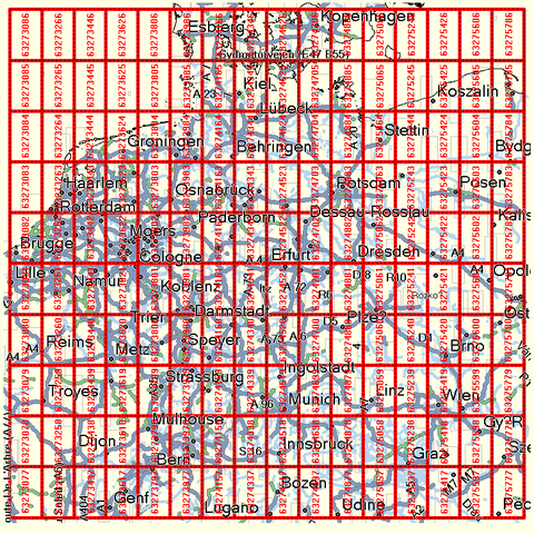
Overview of the names (numbers) commonly used for map tiles of Garmin maps of Germany.
File history
Click on a date/time to view the file as it appeared at that time.
| Date/Time | Thumbnail | Dimensions | User | Comment | |
|---|---|---|---|---|---|
| current | 10:49, 30 November 2008 | | 780 × 780 (156 KB) | De muur (talk | contribs) | Overview of the names (numbers) commonly used for map tiles of Garmin maps of Germany. |
You cannot overwrite this file.
File usage
The following page uses this file: