File:GeoEye1 HaitiCoverage wayonslippy.png
Jump to navigation
Jump to search

No higher resolution available.
GeoEye1_HaitiCoverage_wayonslippy.png (692 × 532 pixels, file size: 170 KB, MIME type: image/png)
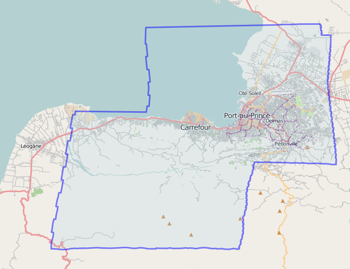
snashop of slippy map view for relation showing GeoEye1 image set coverage.
Licensing
![]()
Contains map data © OpenStreetMap contributors, made available under the terms of the Creative Commons Attribution-ShareAlike 2.0 (CC-BY-SA-2.0).
File history
Click on a date/time to view the file as it appeared at that time.
| Date/Time | Thumbnail | Dimensions | User | Comment | |
|---|---|---|---|---|---|
| current | 18:47, 18 January 2010 | | 692 × 532 (170 KB) | Ceyockey (talk | contribs) | snashop of slippy map view for relation showing GeoEye1 image set coverage. |
You cannot overwrite this file.
File usage
There are no pages that use this file.