File:Geofabrik-gebäude.png
Jump to navigation
Jump to search

No higher resolution available.
Geofabrik-gebäude.png (768 × 523 pixels, file size: 114 KB, MIME type: image/png)
Summary
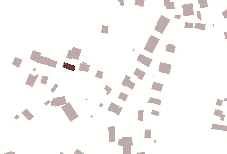
So sieht der Gebäude-Layer in JOSM aus, wenn das entsprechnde WMS von der GeoFabrik eingebunden wird.
Licensing
![]()
This file has been released into the public domain by the copyright holder, its copyright has expired, or it is ineligible for copyright. This applies worldwide.
Please, please use more specific template such as {{PD-self}} / {{PD-creator}} / {{PD-shape}} / {{PD-USGov}} / {{PD-old}} / {{PD-RU-exempt}} ... This template is not making clear why this work is in the public domain.
Please, please use more specific template such as {{PD-self}} / {{PD-creator}} / {{PD-shape}} / {{PD-USGov}} / {{PD-old}} / {{PD-RU-exempt}} ... This template is not making clear why this work is in the public domain.
File history
Click on a date/time to view the file as it appeared at that time.
| Date/Time | Thumbnail | Dimensions | User | Comment | |
|---|---|---|---|---|---|
| current | 17:13, 17 February 2012 | | 768 × 523 (114 KB) | Alexander Roalter (talk | contribs) | So sieht der Gebäude-Layer in JOSM aus, wenn das entsprechnde WMS von der GeoFabrik eingebunden wird. |
You cannot overwrite this file.
File usage
There are no pages that use this file.