File:Glasgow-20080217.png
Jump to navigation
Jump to search
Size of this preview: 800 × 482 pixels. Other resolutions: 320 × 193 pixels | 640 × 385 pixels | 1,184 × 713 pixels.
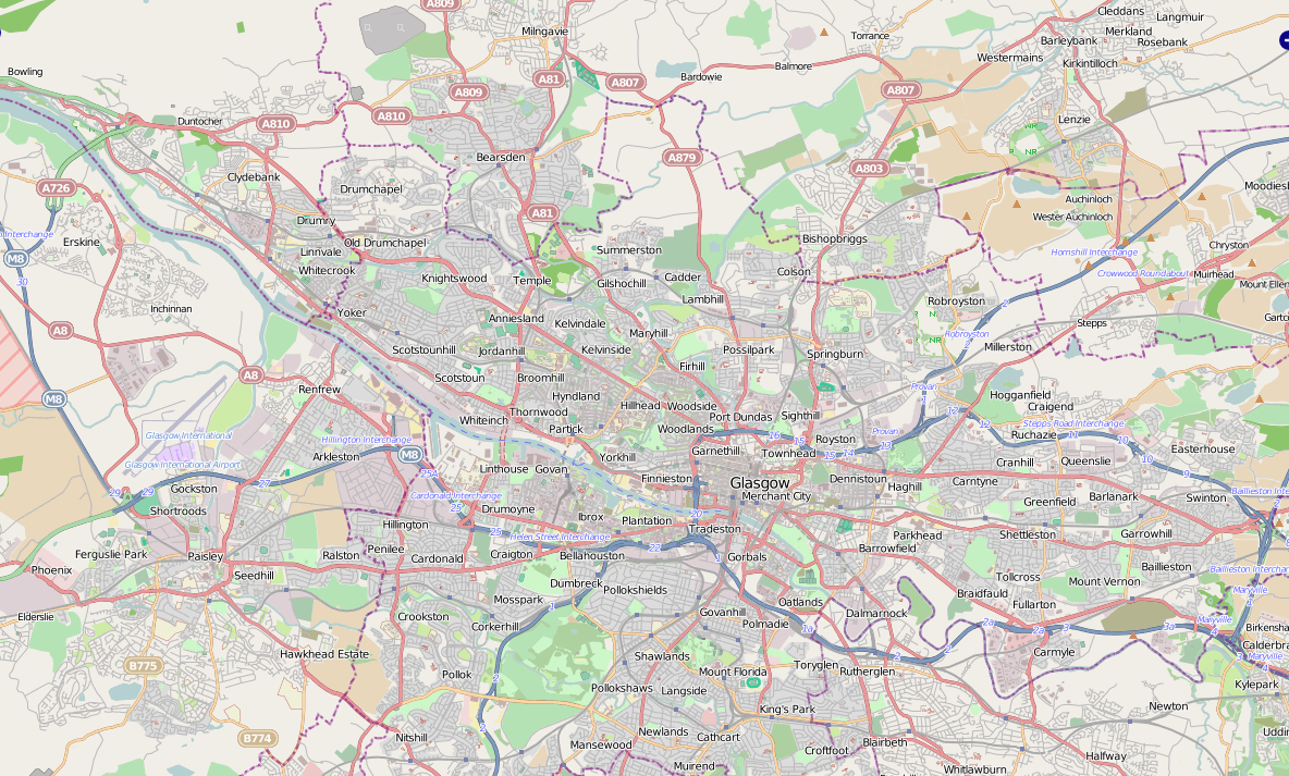
Original file (1,184 × 713 pixels, file size: 1.02 MB, MIME type: image/png)
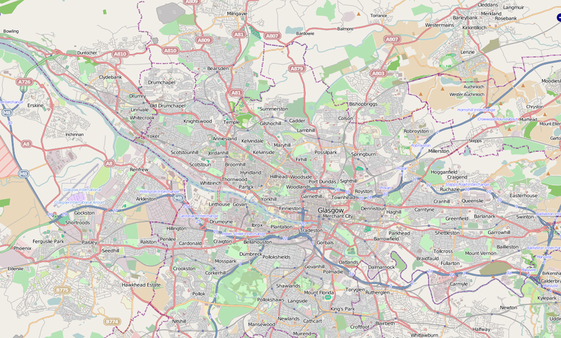
OSM Coverage of Glasgow, as of Sunday 17th February 2008
Licensing
![]()
![]()
![]()
This screenshot contains OpenStreetMap Carto rendering.
The OpenStreetMap Carto map style is made available under the Creative Commons CC-0 1.0 Universal Public Domain Dedication.
- Attribution to the map data:
![]()
Contains map data © OpenStreetMap contributors, made available under the terms of the Creative Commons Attribution-ShareAlike 2.0 (CC-BY-SA-2.0).
File history
Click on a date/time to view the file as it appeared at that time.
| Date/Time | Thumbnail | Dimensions | User | Comment | |
|---|---|---|---|---|---|
| current | 20:33, 1 February 2012 | | 1,184 × 713 (1.02 MB) | Drnoble (talk | contribs) | Updated OSM coverage as of 1 Feb 2012 |
| 01:47, 17 February 2008 |  | 1,145 × 845 (266 KB) | Callum (talk | contribs) | OSM Coverage of Glasgow, as of Sunday 17th February 2008 |
You cannot overwrite this file.
File usage
The following page uses this file: