File:Global basemap bw.png
Jump to navigation
Jump to search

Size of this preview: 800 × 600 pixels. Other resolutions: 320 × 240 pixels | 640 × 480 pixels | 1,024 × 768 pixels.
Original file (1,024 × 768 pixels, file size: 19 KB, MIME type: image/png)
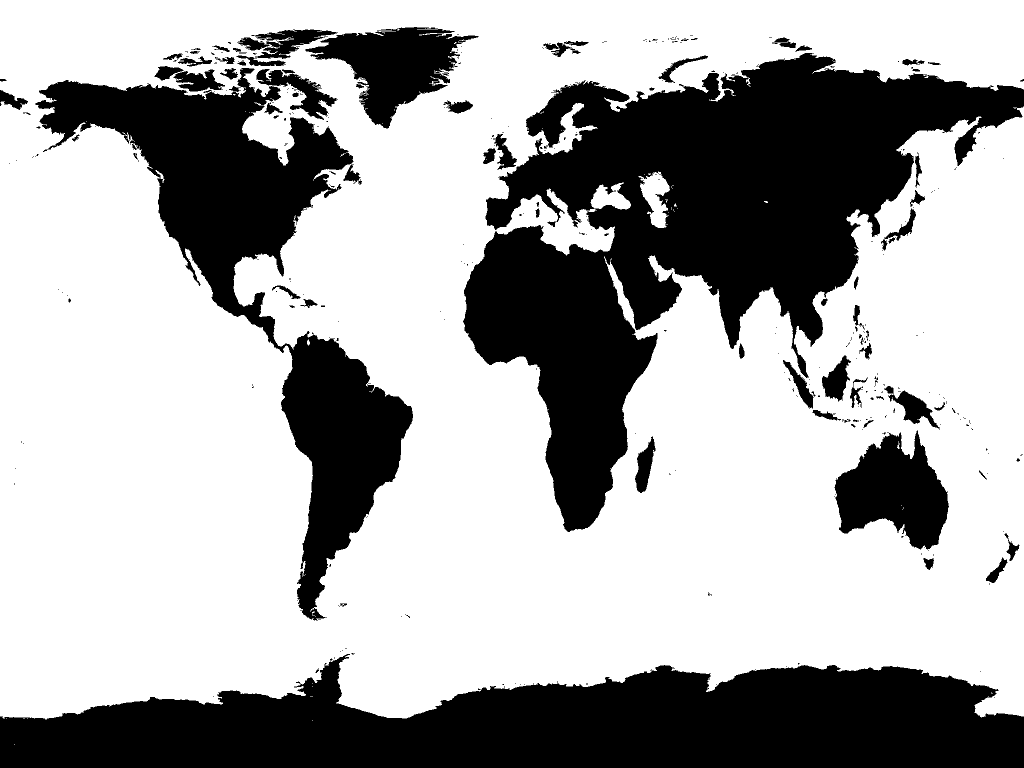
Simple plate carre base map of land and sea derived from bluemarble bathymetry layer.
File history
Click on a date/time to view the file as it appeared at that time.
| Date/Time | Thumbnail | Dimensions | User | Comment | |
|---|---|---|---|---|---|
| current | 14:49, 16 July 2009 | | 1,024 × 768 (19 KB) | Robert (talk | contribs) | Simple plate carre base map of land and sea derived from bluemarble bathymetry layer. |
You cannot overwrite this file.
File usage
The following page uses this file: