File:GreaterLondon-20061114.png
Jump to navigation
Jump to search


Size of this preview: 609 × 600 pixels. Other resolutions: 244 × 240 pixels | 487 × 480 pixels | 780 × 768 pixels | 1,039 × 1,024 pixels | 1,280 × 1,261 pixels.
Original file (1,280 × 1,261 pixels, file size: 989 KB, MIME type: image/png)
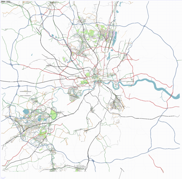
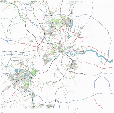
The Greater London area rendered using OSM data from the DB at 14th November 2006. Done using osmarenderer.
![]()
Contains map data © OpenStreetMap contributors, made available under the terms of the Creative Commons Attribution-ShareAlike 2.0 (CC-BY-SA-2.0).
File history
Click on a date/time to view the file as it appeared at that time.
| Date/Time | Thumbnail | Dimensions | User | Comment | |
|---|---|---|---|---|---|
| current | 17:49, 17 November 2006 | | 1,280 × 1,261 (989 KB) | Randomjunk (talk | contribs) | The Greater London area rendered using OSM data from the DB at 14th November 2006. Done using osmarenderer. |
You cannot overwrite this file.
File usage
There are no pages that use this file.