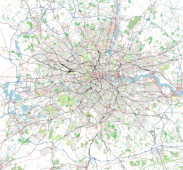
File:Greater London Osmarender.png

Original file (1,280 × 1,186 pixels, file size: 1.79 MB, MIME type: image/png)
A map of Greater London (the wider county around London the city) rendered using osmarender.
This was originally done by User:80n way back in 2006 (uploaded as an earlier version of the file). He has described this early process on the talk page.
Since then it was re-rendered by User:Randomjunk, who also made an awesome animation: File:LondonProgress.gif (the process for this is described at User:Randomjunk#Progress)
That was early in the project's history. These days osmarender is not generally the tool of choice. See File:Greater London.png for a more modern rendering
Licensing
| Contains map data © OpenStreetMap contributors, made available under the terms of the Open Database License (ODbL).
The ODbL does not require any particular license for maps produced from ODbL data, produced maps may be subject also to other licences. |
File history
Click on a date/time to view the file as it appeared at that time.
| Date/Time | Thumbnail | Dimensions | User | Comment | |
|---|---|---|---|---|---|
| current | 11:52, 13 October 2015 | | 1,280 × 1,186 (1.79 MB) | Harry Wood (talk | contribs) | Reverting but also renaming the file, to preserve docs on how this was generated with osmarender |
| 07:40, 13 October 2015 |  | 553 × 476 (773 KB) | Rza31 (talk | contribs) | ||
| 18:59, 14 January 2008 |  | 1,280 × 1,186 (1.79 MB) | Gravitystorm (talk | contribs) | ||
| 18:57, 14 January 2008 |  | 1,280 × 1,186 (1.49 MB) | Gravitystorm (talk | contribs) | Reverted to earlier revision | |
| 15:55, 21 August 2007 |  | 1,280 × 1,186 (1.32 MB) | Randomjunk (talk | contribs) | updated from planet 2007-08-15 | |
| 10:42, 1 March 2007 | 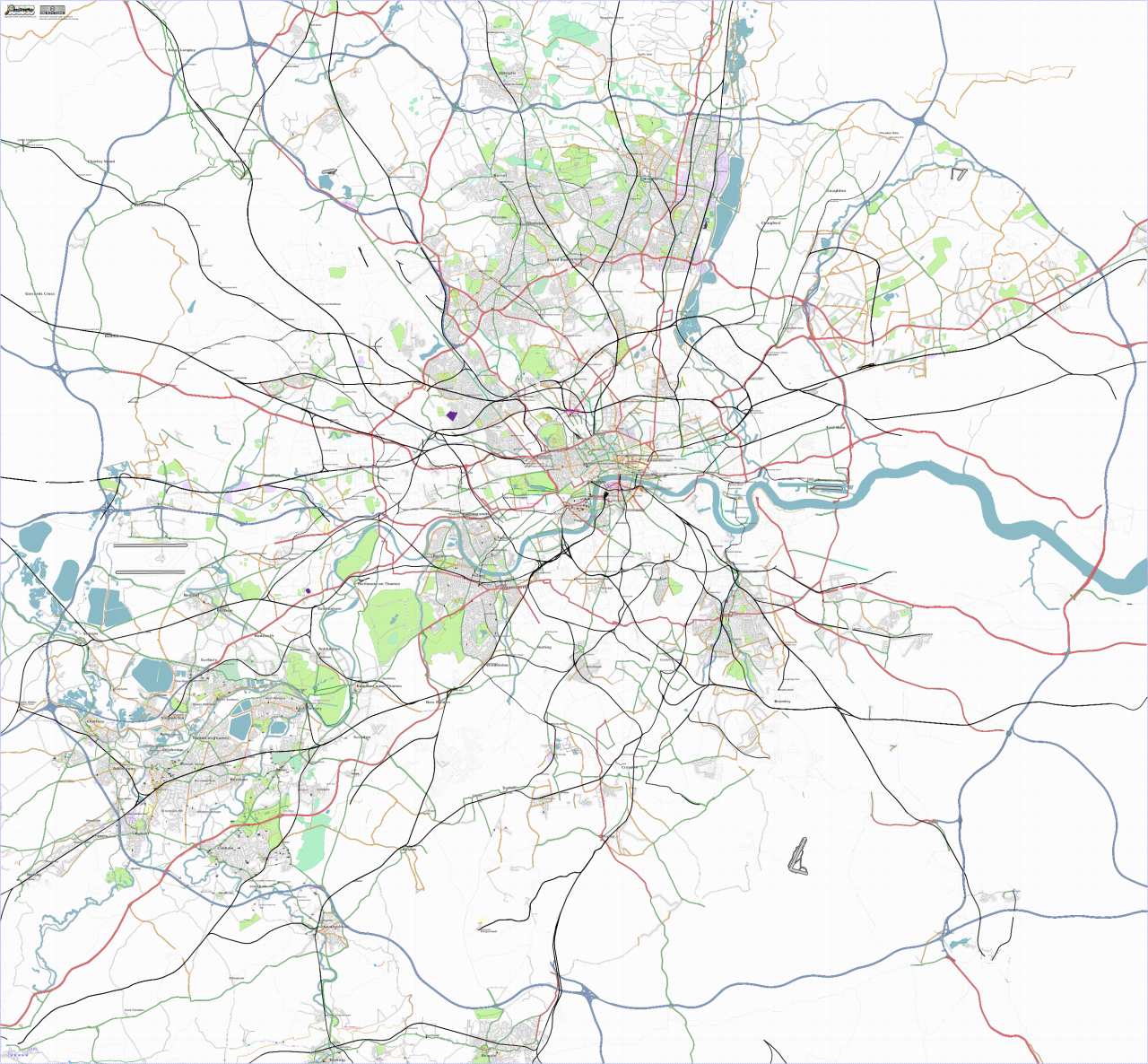 | 1,280 × 1,186 (1.49 MB) | Randomjunk (talk | contribs) | updated london map | |
| 19:43, 2 September 2006 | 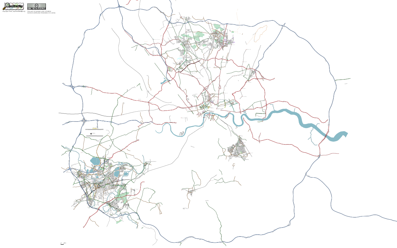 | 1,280 × 800 (285 KB) | 80n (talk | contribs) | Osmarender of London out to the M25 |
You cannot overwrite this file.
File usage
The following 2 pages use this file: