File:Greater Victoria-20070712.png
Jump to navigation
Jump to search


Size of this preview: 259 × 598 pixels. Other resolutions: 104 × 240 pixels | 208 × 480 pixels | 332 × 768 pixels | 443 × 1,024 pixels | 887 × 2,048 pixels | 2,601 × 6,005 pixels.
Original file (2,601 × 6,005 pixels, file size: 1.03 MB, MIME type: image/png)
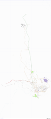
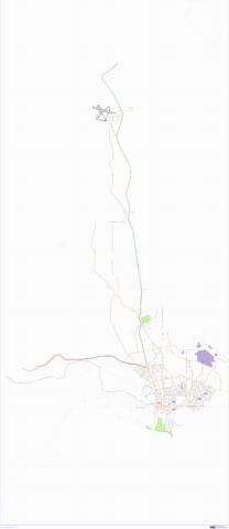
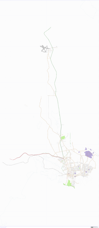
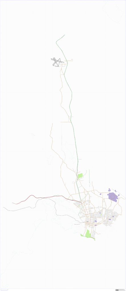
Greater Victoria, BC, Canada. Rendered on July 12, 2007
![]()
Contains map data © OpenStreetMap contributors, made available under the terms of the Creative Commons Attribution-ShareAlike 2.0 (CC-BY-SA-2.0).
File history
Click on a date/time to view the file as it appeared at that time.
| Date/Time | Thumbnail | Dimensions | User | Comment | |
|---|---|---|---|---|---|
| current | 06:53, 13 July 2007 | | 2,601 × 6,005 (1.03 MB) | CoreyBurger (talk | contribs) | Greater Victoria, BC, Canada. Rendered on July 12, 2007 |
You cannot overwrite this file.
File usage
There are no pages that use this file.