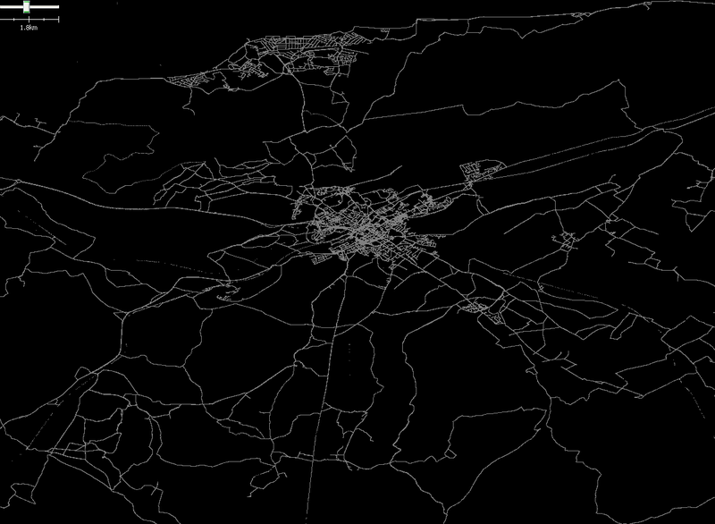
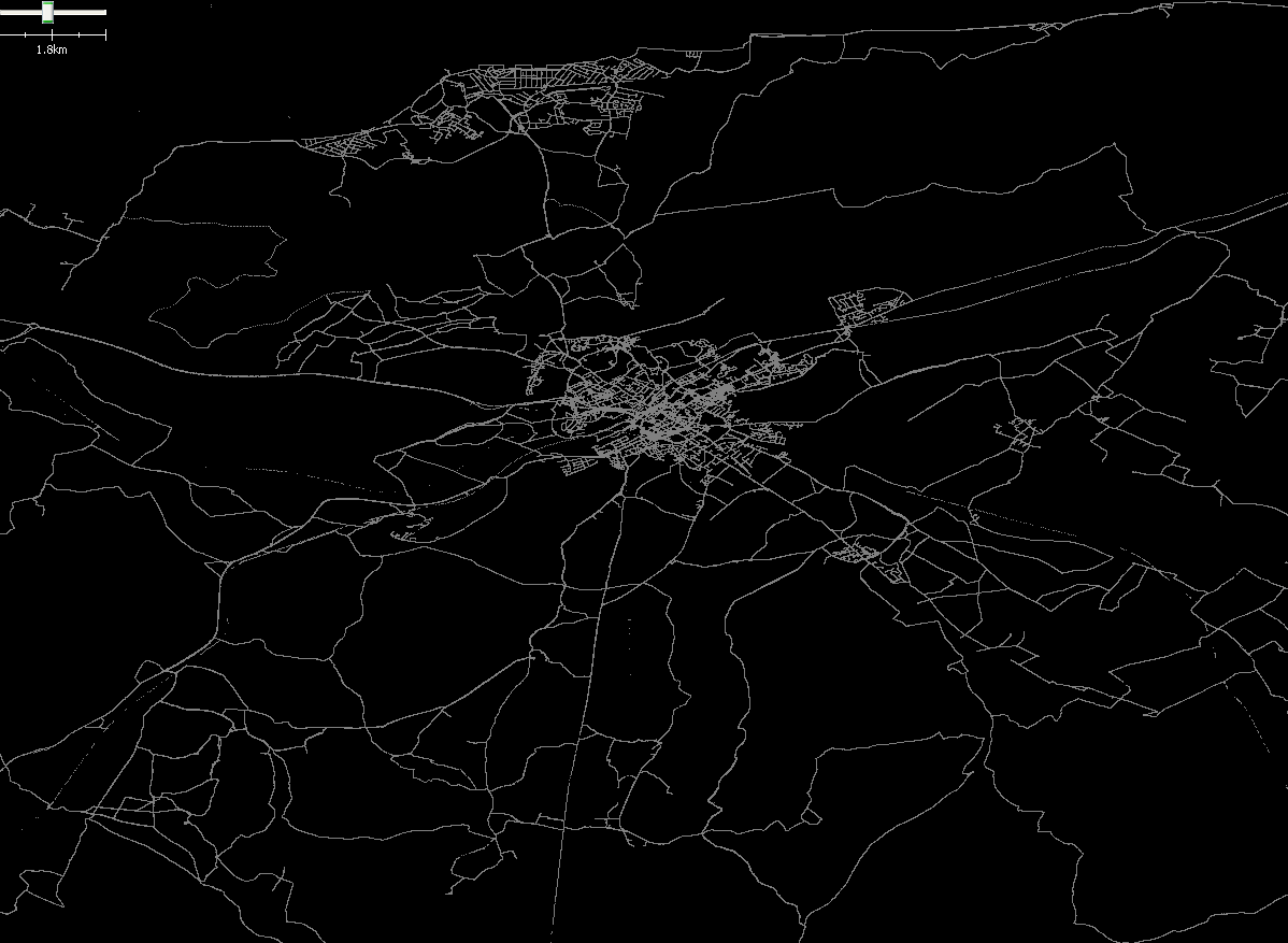
File:Gregoryw Traces CanterburyArea.png
Jump to navigation
Jump to search
Size of this preview: 800 × 586 pixels. Other resolutions: 320 × 234 pixels | 640 × 469 pixels | 1,024 × 750 pixels | 1,198 × 877 pixels.
Original file (1,198 × 877 pixels, file size: 68 KB, MIME type: image/png)
My traces in the Canterbury area.
File history
Click on a date/time to view the file as it appeared at that time.
| Date/Time | Thumbnail | Dimensions | User | Comment | |
|---|---|---|---|---|---|
| current | 11:02, 12 July 2008 | | 1,198 × 877 (68 KB) | Gregoryw (talk | contribs) | My traces in the Canterbury area. |
You cannot overwrite this file.
File usage
The following 2 pages use this file: