File:Gregoryw Traces ThanetAndDealArea.png
Jump to navigation
Jump to search


Size of this preview: 800 × 578 pixels. Other resolutions: 320 × 231 pixels | 640 × 462 pixels | 1,024 × 739 pixels | 1,184 × 855 pixels.
Original file (1,184 × 855 pixels, file size: 48 KB, MIME type: image/png)
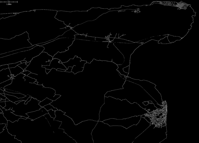
My traces in the Thanet and Deal area.
File history
Click on a date/time to view the file as it appeared at that time.
| Date/Time | Thumbnail | Dimensions | User | Comment | |
|---|---|---|---|---|---|
| current | 10:56, 12 July 2008 | | 1,184 × 855 (48 KB) | Gregoryw (talk | contribs) | My traces in the Thanet and Deal area. |
You cannot overwrite this file.
File usage
The following page uses this file: