File:Greifswald history to2009-11-11.gif
Jump to navigation
Jump to search

No higher resolution available.
Greifswald_history_to2009-11-11.gif (800 × 576 pixels, file size: 439 KB, MIME type: image/gif, 86 frames, 43 s)
Note: Due to technical limitations, thumbnails of high resolution GIF images such as this one will not be animated.
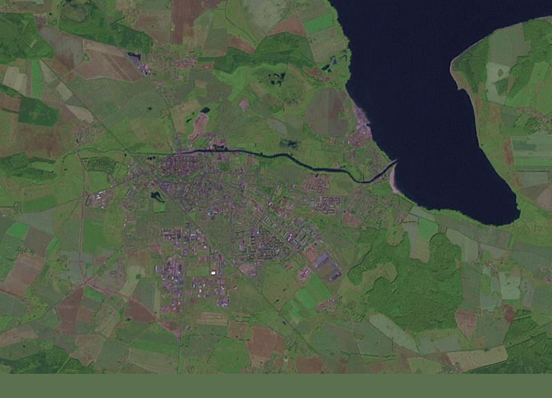
History of Greifswald from earliest to 2009-11-11 From http://labs.geofabrik.de/history/
![]()
This media file does not have sufficient information on its copyright status. If you have created this file yourself, or the file is available under some open licence allowing its use on OSM Wiki or the file is in the public domain, you can edit the file description page to license it under one of the allowed licences. If you did not create it and it is not in the public domain, you must ask the copyright holder for permission to release it under one of the allowed licenses. Wiki:Media file license chart may be helpful to find a suitable licence.
Files without licences marked with this template are listed in Category:Media without a license or one of its subcategories. If the file is without a known open licence: ask its uploader to clarify situation or find a replacement and mark this file with {{Superseded by Commons}} and replace its uses.
Files without licences marked with this template are listed in Category:Media without a license or one of its subcategories. If the file is without a known open licence: ask its uploader to clarify situation or find a replacement and mark this file with {{Superseded by Commons}} and replace its uses.
If uploader was notified this month: use {{No licence|subcategory=uploader notified 2024, April}} - to put media into Category:Media without a license - uploader notified 2024, April and mark image as one where uploader was notified.
Missing source and license of the aerial imagery!
File history
Click on a date/time to view the file as it appeared at that time.
| Date/Time | Thumbnail | Dimensions | User | Comment | |
|---|---|---|---|---|---|
| current | 16:59, 18 November 2009 | | 800 × 576 (439 KB) | Bk (talk | contribs) | History of Greifswald from earliest to 2009-11-11 From http://labs.geofabrik.de/history/ Parameters: http://labs.geofabrik.de/history/?label=Greifswald%20-%20History2&user=mono&minlat=54.0521&minlon=13.3134&maxlat=54.1313&maxlon=13.5128&projection=2&bgim |
| 16:56, 18 November 2009 |  | 800 × 576 (439 KB) | Bk (talk | contribs) | History of Greifswald from earliest to 2009-11-11 From http://labs.geofabrik.de/history/ |
You cannot overwrite this file.
File usage
The following page uses this file: