File:Gutau-Langlaufkarte-1000.png
Jump to navigation
Jump to search
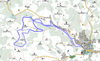
Size of this preview: 800 × 486 pixels. Other resolutions: 320 × 195 pixels | 640 × 389 pixels | 1,000 × 608 pixels.
Original file (1,000 × 608 pixels, file size: 382 KB, MIME type: image/png)
Summary
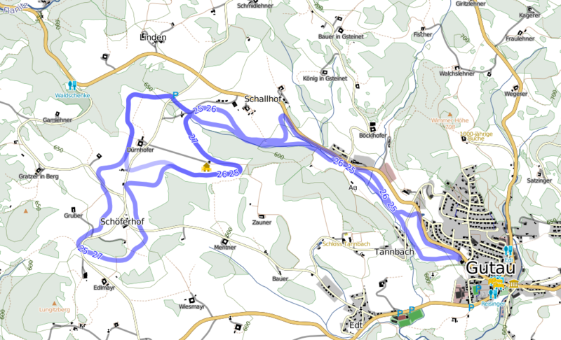
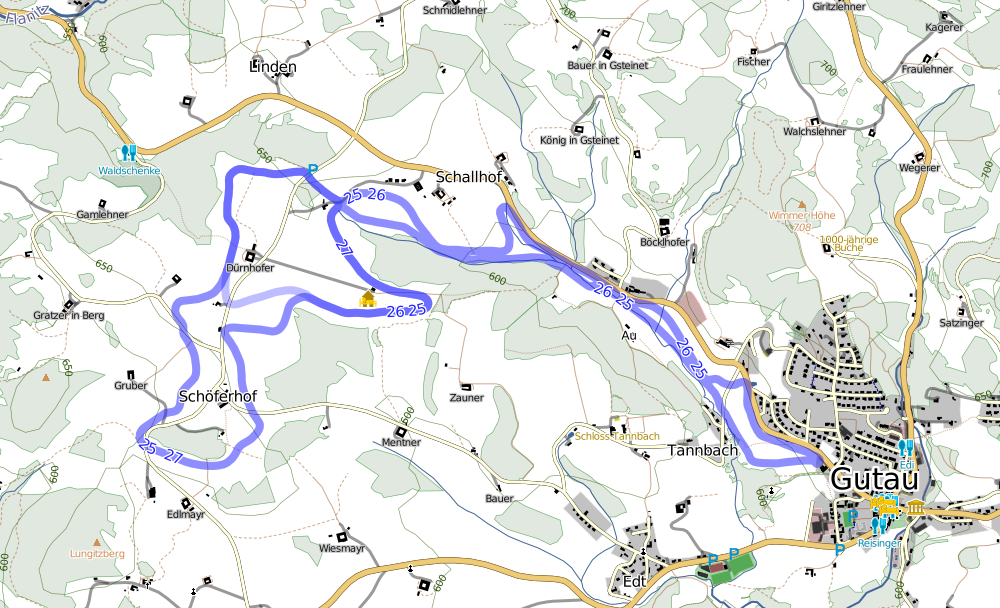
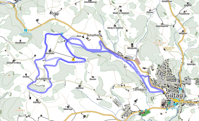
[English] Cross-Country Skiing Map of Gutau, Austria, published 2009, made by User:Numenor
[Deutsch] Langlaufkarte von Gutau, Österreich, 2009, von User:Numenor
→ https://lorien.ancalime.de/gutau.html
Licensing
![]()
![]()
![]()
This work is licensed under the Creative Commons Attribution-ShareAlike 2.0 License.
Attribution not specified as a parameter! THIS LICENSE ALWAYS REQUIRES ATTRIBUTION! Use {{CC-BY-SA-2.0|Attribution, typically name of author}} See Template:CC-BY-SA-2.0 for full description how this template should be used.
Note, there is
There is also
Attribution not specified as a parameter! THIS LICENSE ALWAYS REQUIRES ATTRIBUTION! Use {{CC-BY-SA-2.0|Attribution, typically name of author}} See Template:CC-BY-SA-2.0 for full description how this template should be used.
Note, there is
{{CC-BY-SA-2.0 OpenStreetMap}} for files based on old OSM map data, before the license change made on 2012-09-12.There is also
{{OSM Carto screenshot||old_license}} for files based on old OSM map data, before the license change made on 2012-09-12, created using OSM Carto map style.
File history
Click on a date/time to view the file as it appeared at that time.
| Date/Time | Thumbnail | Dimensions | User | Comment | |
|---|---|---|---|---|---|
| current | 04:25, 3 October 2014 | | 1,000 × 608 (382 KB) | Al. (talk | contribs) | [English] Cross-Country Skiing Map of Gutau, Austria, published 2009, made by User:Numenor [Deutsch] Langlaufkarte von Gutau, Österreich, 2009, von User:Numenor → https://lorien.ancalime.de/gutau.html |
You cannot overwrite this file.
File usage
The following 2 pages use this file: