File:HOT style map of Southern Tacloban.png
Jump to navigation
Jump to search
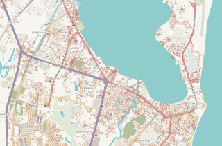
Size of this preview: 800 × 526 pixels. Other resolutions: 320 × 211 pixels | 640 × 421 pixels | 950 × 625 pixels.
Original file (950 × 625 pixels, file size: 578 KB, MIME type: image/png)
Information
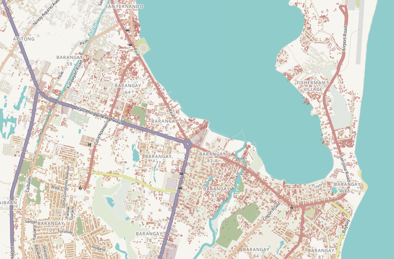
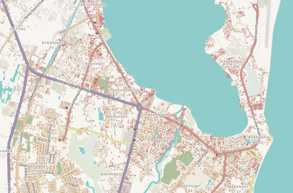
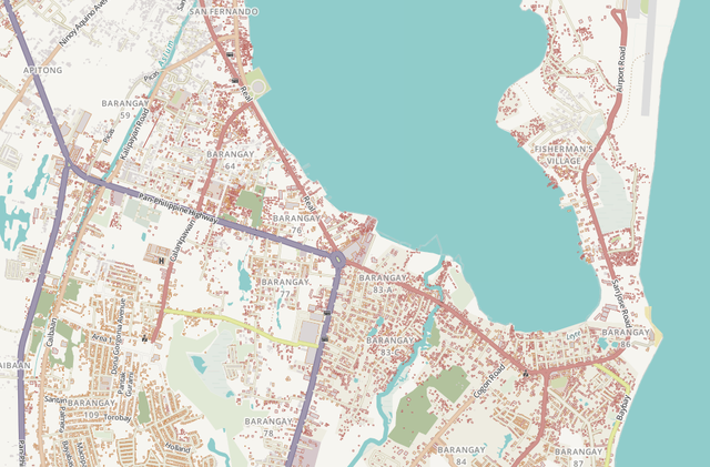
| Description | In response to humanitarian mapping in the wake of Typhoon Haiyan, the HOT map style was updated to show the status of damaged buildings. Shown is the HOT map of southern Tacloban showing buildings outlined in red (collapsed) and orange (damaged). |
|---|---|
| Author | Screenshot by seav |
| Source | http://www.openstreetmap.org/#map=15/11.2146/125.0101&layers=H |
| Date | 2014-03-31 |
| Permission | CC BY-SA 2.0 |
File history
Click on a date/time to view the file as it appeared at that time.
| Date/Time | Thumbnail | Dimensions | User | Comment | |
|---|---|---|---|---|---|
| current | 18:29, 30 March 2014 | | 950 × 625 (578 KB) | Seav (talk | contribs) | ==Information== {{Information |Description = In response to humanitarian mapping in the wake of Typhoon Haiyan, the HOT map style was updated to show the status of damaged buildings. Shown is the HOT map of southern Tacloban showing buildings ou... |
You cannot overwrite this file.
File usage
The following page uses this file: