File:High Wycombe.png
Jump to navigation
Jump to search

Size of this preview: 787 × 599 pixels. Other resolutions: 315 × 240 pixels | 630 × 480 pixels | 923 × 703 pixels.
Original file (923 × 703 pixels, file size: 373 KB, MIME type: image/png)
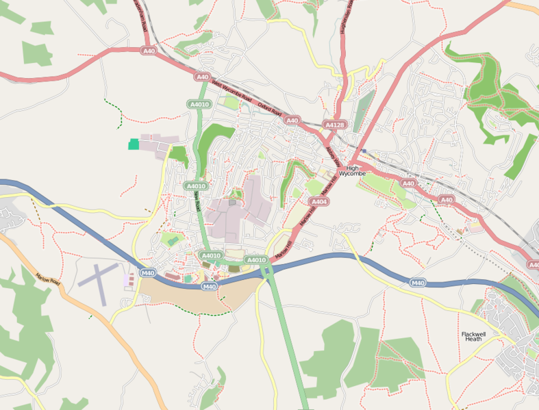
High Wycombe Mapping. Booker, Cressex and Castlefield areas are done. Also parts of the centre and the Rye.
Licensing
![]()
![]()
![]()
This screenshot contains OpenStreetMap Carto rendering.
The OpenStreetMap Carto map style is made available under the Creative Commons CC-0 1.0 Universal Public Domain Dedication.
- Attribution to the map data:
![]()
Contains map data © OpenStreetMap contributors, made available under the terms of the Creative Commons Attribution-ShareAlike 2.0 (CC-BY-SA-2.0).
File history
Click on a date/time to view the file as it appeared at that time.
| Date/Time | Thumbnail | Dimensions | User | Comment | |
|---|---|---|---|---|---|
| current | 18:01, 15 May 2009 | | 923 × 703 (373 KB) | Iknowjoseph (talk | contribs) | |
| 22:34, 12 September 2008 |  | 690 × 649 (200 KB) | Xoman (talk | contribs) | High Wycombe Mapping. Booker, Cressex and Castlefield areas are done. Also parts of the centre and the Rye. |
You cannot overwrite this file.
File usage
The following 2 pages use this file: