File:ITO Map - Former railways.png
Jump to navigation
Jump to search

Size of this preview: 800 × 160 pixels. Other resolution: 1,132 × 226 pixels.
Original file (1,132 × 226 pixels, file size: 183 KB, MIME type: image/png)
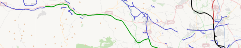
A view of the ITO Map 'Former railways' overlay. Heritage railways in green, disused in red, abandoned in blue and dismantled in light purple (not shown in this image)
File history
Click on a date/time to view the file as it appeared at that time.
| Date/Time | Thumbnail | Dimensions | User | Comment | |
|---|---|---|---|---|---|
| current | 20:59, 3 March 2011 | 1,132 × 226 (183 KB) | PeterIto (talk | contribs) | A view of the ITO Map 'Former railways' overlay. Heritage railways in green, disused in red, abandoned in blue and dismantled in light purple (not shown in this image) |
You cannot overwrite this file.
File usage
The following 4 pages use this file: