File:Illinois.png
Jump to navigation
Jump to search
Size of this preview: 546 × 600 pixels. Other resolutions: 218 × 240 pixels | 437 × 480 pixels | 915 × 1,005 pixels.
Original file (915 × 1,005 pixels, file size: 408 KB, MIME type: image/png)
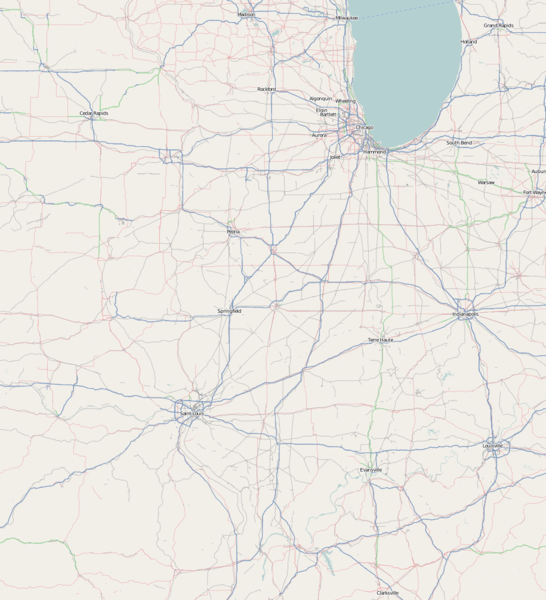
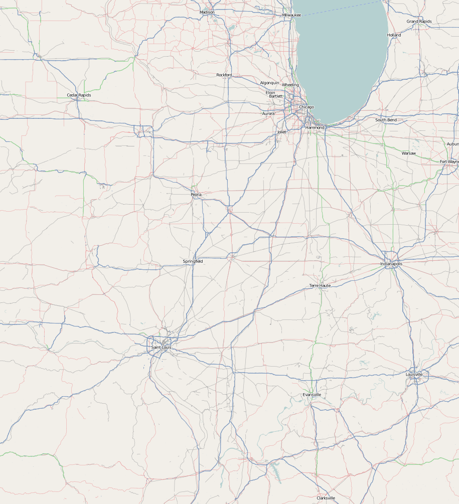
Illinois - Mapnik immage exported from OSM centred on Illinois in seach box at zoom=7
http://www.openstreetmap.org/?lat=39.92&lon=-89&zoom=7&layers=B00FT
Licensing
![]()
![]()
![]()
This screenshot contains OpenStreetMap Carto rendering.
The OpenStreetMap Carto map style is made available under the Creative Commons CC-0 1.0 Universal Public Domain Dedication.
- Attribution to the map data:
![]()
Contains map data © OpenStreetMap contributors, made available under the terms of the Creative Commons Attribution-ShareAlike 2.0 (CC-BY-SA-2.0).
File history
Click on a date/time to view the file as it appeared at that time.
| Date/Time | Thumbnail | Dimensions | User | Comment | |
|---|---|---|---|---|---|
| current | 11:50, 12 May 2009 | | 915 × 1,005 (408 KB) | Nickvet419 (talk | contribs) | |
| 18:53, 4 March 2009 |  | 915 × 1,008 (273 KB) | Nickvet419 (talk | contribs) | Reverted to version as of 07:37, 13 June 2008 | |
| 18:47, 4 March 2009 |  | 459 × 725 (95 KB) | Nickvet419 (talk | contribs) | ||
| 18:41, 4 March 2009 |  | 915 × 1,005 (11 KB) | Nickvet419 (talk | contribs) | ||
| 07:37, 13 June 2008 |  | 915 × 1,008 (273 KB) | Nickvet419 (talk | contribs) | Illinois - Mapnik immage exported from OSM centred on Illinois in seach box at zoom=7 http://www.openstreetmap.org/?lat=39.92&lon=-89&zoom=7&layers=B00FT |
You cannot overwrite this file.
File usage
There are no pages that use this file.