File:IsleOfWight20060504a.png
Jump to navigation
Jump to search

Size of this preview: 800 × 500 pixels. Other resolutions: 320 × 200 pixels | 640 × 400 pixels | 1,024 × 640 pixels | 1,280 × 800 pixels.
Original file (1,280 × 800 pixels, file size: 115 KB, MIME type: image/png)
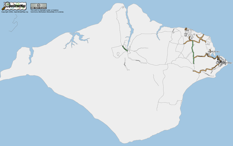
Isle of Wight before the OSM Workshop. Includes coastline.
![]()
Contains map data © OpenStreetMap contributors, made available under the terms of the Creative Commons Attribution-ShareAlike 2.0 (CC-BY-SA-2.0).
File history
Click on a date/time to view the file as it appeared at that time.
| Date/Time | Thumbnail | Dimensions | User | Comment | |
|---|---|---|---|---|---|
| current | 10:25, 6 May 2006 | | 1,280 × 800 (115 KB) | 80n (talk | contribs) | |
| 10:21, 6 May 2006 |  | 1,280 × 800 (117 KB) | 80n (talk | contribs) | Isle of Wight before the OSM Workshop. Includes coastline. |
You cannot overwrite this file.
File usage
The following page uses this file: