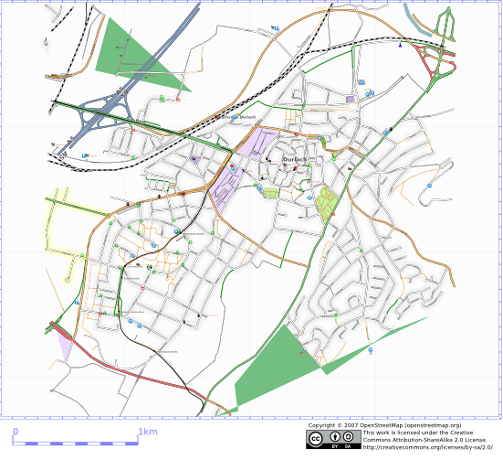
File:Karlsruhe Mapping Party Durlach After.png
Jump to navigation
Jump to search

No higher resolution available.
Karlsruhe_Mapping_Party_Durlach_After.png (551 × 502 pixels, file size: 214 KB, MIME type: image/png)
![]()
Contains map data © OpenStreetMap contributors, made available under the terms of the Creative Commons Attribution-ShareAlike 2.0 (CC-BY-SA-2.0).
File history
Click on a date/time to view the file as it appeared at that time.
| Date/Time | Thumbnail | Dimensions | User | Comment | |
|---|---|---|---|---|---|
| current | 11:23, 5 April 2007 | | 551 × 502 (214 KB) | Frederik Ramm (talk | contribs) | |
| 21:10, 2 April 2007 |  | 551 × 501 (211 KB) | Frederik Ramm (talk | contribs) |
You cannot overwrite this file.
File usage
The following page uses this file: