File:Kostolec-hradisko.jpg
Jump to navigation
Jump to search

Size of this preview: 450 × 600 pixels. Other resolutions: 180 × 240 pixels | 576 × 768 pixels.
Original file (576 × 768 pixels, file size: 96 KB, MIME type: image/jpeg)
This file and its description are from Wikimedia Commons.
| Description |
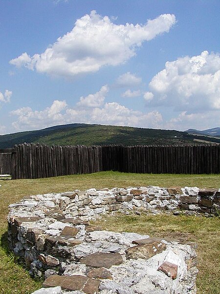
Slovenčina: Kostolec, veľkomoravské hradisko, Ducové. |
|||
| Date | ||||
| Source | Own work | |||
| Author | Martin Hlauka (Pescan) 21:04, 12 Jun 2005 (UTC) | |||
| Permission (Reusing this file) |
|

| Camera location | | View this and other nearby images on: OpenStreetMap |
|---|
File history
Click on a date/time to view the file as it appeared at that time.
| Date/Time | Thumbnail | Dimensions | User | Comment | |
|---|---|---|---|---|---|
| current | 12:39, 17 June 2007 | | 576 × 768 (96 KB) | wikimediacommons>Pescan |
File usage
The following 6 pages use this file: